About World Topo Map
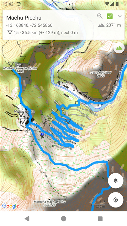
World Topo Map is developed for outdoor enthusiasts who want to mark visited locations, create waypoints to explore, follow imported tracks, or craft their own.
It is designed to be lightweight, intuitive, responsive, and battery-friendly — perfect for anything from casual day trips to challenging bush excursions.
Created by an adventurer for fellow adventurers!
World Topo Map Features
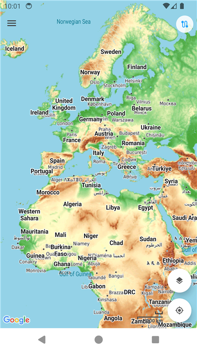
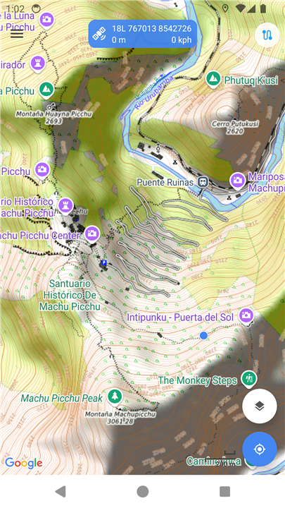
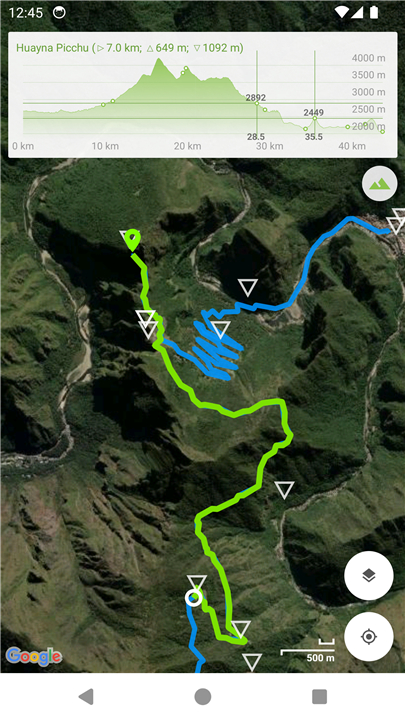
• View and cache topographic tiles and satellite imagery
• Download topographic tiles for offline use in visible and lower zoom regions
• Add unlimited map markers
• Import GPX, KML, and FIT waypoints, tracks, and routes
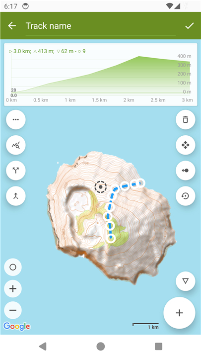
• Plan, create, and edit tracks using a powerful GPX editor
• Record routes or follow imported tracks
• Export or share tracks and markers
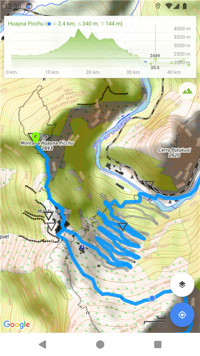
• View elevation profiles of tracks/routes with interactive graphs
• Access distance, ascent, descent, moving time, and speed data
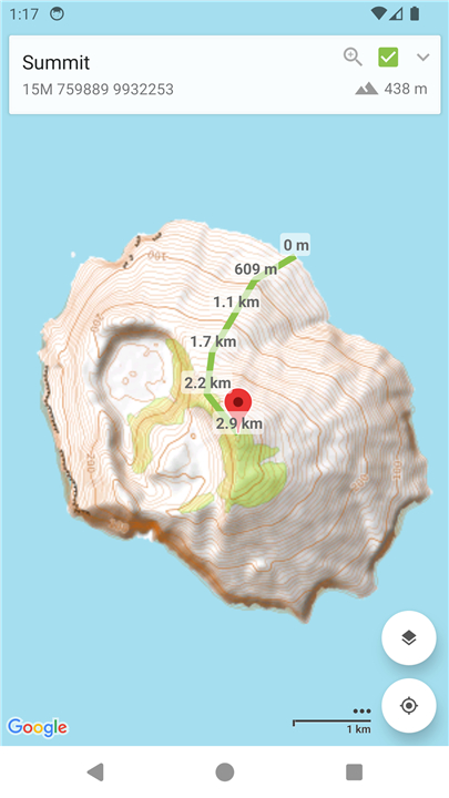
• Measure straight-line distance between multiple points and markers
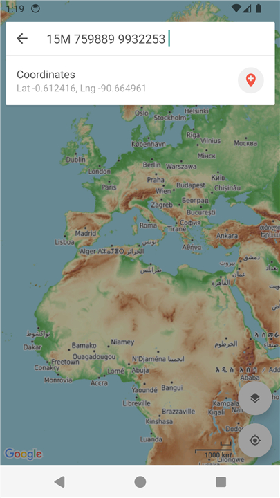
• Search for places of interest with support for Decimal, DMS, MGRS, and UTM coordinates
• Group markers by tags for easy organization (customize colors and toggle visibility)
• Battery-conscious design ideal for extended use without frequent recharging
• Space-conscious storage management including external SD card support and full tile cache control
• Stay updated with the latest imagery without requiring app updates
• Navigate intuitively with Google Maps interactions such as pinch zoom, scroll, rotate, drop and drag markers
• Fully functional and available for free
Topographic Map Tiles
• OpenTopoMap provides free topographic maps generated from OpenStreetMap data combined with SRTM elevation data.
• This service offers excellent topographic coverage worldwide, although some areas and zoom levels may lack topographic details.
• Map data © OpenStreetMap contributors, SRTM | Map rendering © OpenTopoMap (CC-BY-SA)
Analytics and Privacy
World Topo Map uses Google Analytics to anonymously collect app stability metrics. No personal data is collected, shared, or disclosed.
For more, visit:
• Google Analytics: http://www.google.com/analytics
• Google Analytics Privacy Policy: http://www.google.com/policies/privacy
You can opt out of Google Analytics at any time via the Settings menu.
FAQ
Q: Can I use World Topo Map offline?
A: Yes! You can download topographic tiles for offline use within visible and lower zoom regions, ensuring access to detailed maps even without an internet connection.
Q: What types of files can I import into World Topo Map?
A: World Topo Map supports importing GPX, KML, and FIT files, allowing you to bring in waypoints, tracks, and routes from other devices or applications.
Q: Is there a limit to how many map markers I can add?
A: No, you can add an unlimited number of map markers to mark your points of interest or track your route.
Version History
v9.6.1——25 Jun 2025
Offline topo maps worldwide, record hikes, import & edit GPX tracks & waypoints Download the latest version of World Topo Map to enjoy new features and updates immediately!
*9.6.1
• Split and merge track segments
• Track info shows time and speed for selection (if available)
• Bug fixes, performance and UI improvements
More feature requests coming soon!
*9.6.0
• Split and merge track segments
• Track info shows time and speed for selection (if available)
• Bug fixes, performance and UI improvements
More feature requests coming soon!
*9.4.0
• Volume button zoom support (feature request)
• Track elevation smoothing
• Quick tap tag and marker colour
• Track editing improvements
• Bug fixes, performance and UI improvements
More feature requests coming soon!



Ratings and reviews
There are no reviews yet. Be the first one to write one.