GPS Camera Photo TimeStamp Map APK
0.2.1
GPS Camera Photo TimeStamp Map
GPS Camera Photo TimeStamp Map APK
Download for Android
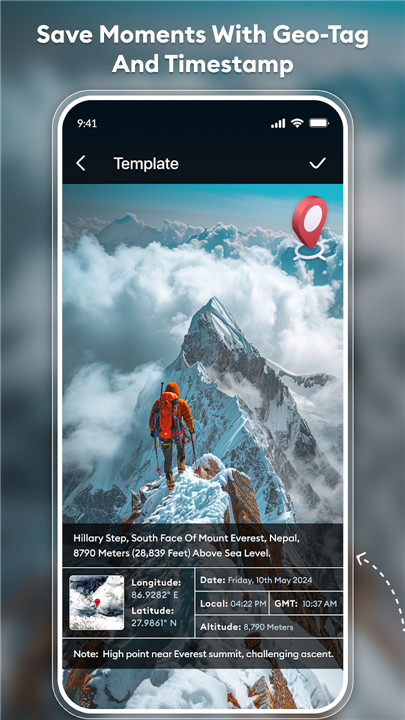
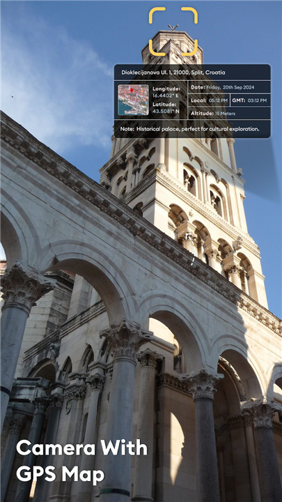
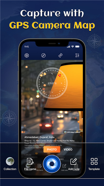
Experience the thrill of tracking your adventures with the GPS Camera Map app, which allows you to capture live locations through your photos. Effortlessly add geotags to your images and share them with friends and family, showcasing your most cherished travel experiences.
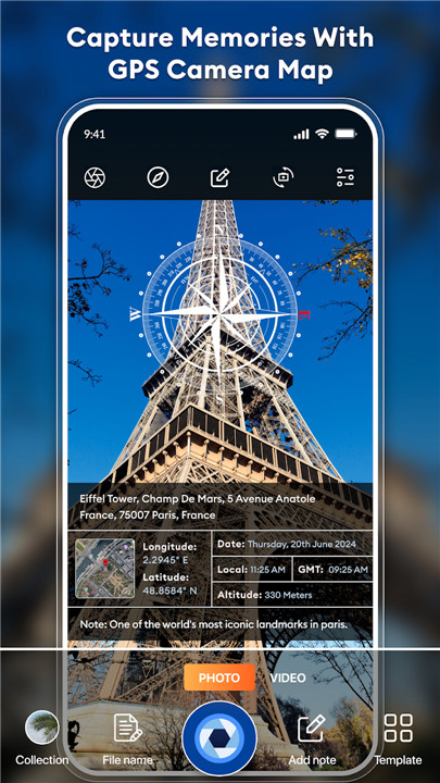
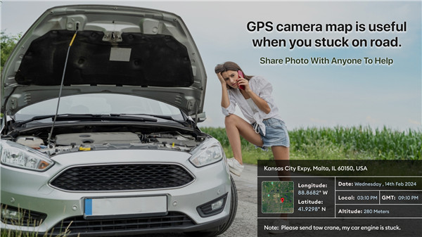
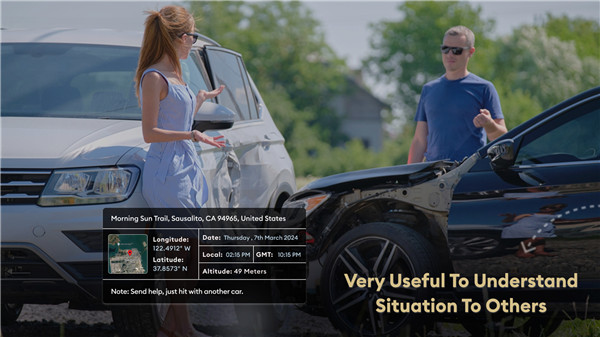
With GPS Camera Map, you can easily incorporate details such as date, time, latitude, longitude, and altitude into your pictures, ensuring that your travel memories are well-documented.
Monitor and Share Your Location
Steps to Add GPS Location to Your Photos:
1. Download the GPS Camera Map app on your device.
2. Launch the camera, choose a template (either advanced or classic), and customize the stamp settings for your GPS location.
3. Take your photos, and watch as the app automatically applies the location stamp.
Key Features
- Custom GPS Camera: Benefit from options like Grid, Flash, Mirror, Timer, Focus, and Capture Sound.
- Template Collection: Automatically retrieves stamp details for a seamless experience.
- Capture your journeys and share them globally with GPS Map Camera!
Enhance your photo editing skills with just a few taps, and witness the creative transformation in every shot.
Advanced Template Features:
+ Address: Include your address directly on the image.
+ Lat/Long: Embed GPS coordinates into your photo.
+ Date & Time: Insert date and time in various formats.
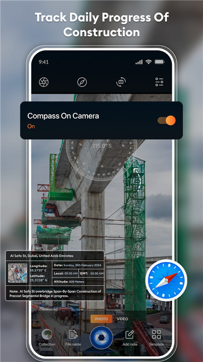
+ Compass: Displays the compass direction automatically.
+ Altitude: Automatically determines the altitude.
Ideal App for a Diverse Range of Users
- Adventurers & Travelers:
Seamlessly incorporate location stamps into your travel snapshots with this geo-tagging camera app.
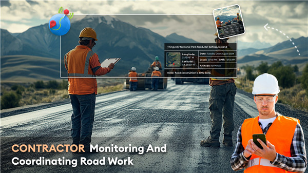
- Real Estate, Construction & Design Experts:
Easily add GPS map location stamps to your project photos.
- Event Hosts:
Mark your event's location with a GPS stamp on your images, perfect for celebrations in unique destinations.
- Field Researchers:
Utilize the app as a GPS note-taker to embed location information in your field images.
- Corporate Meetings & Gatherings:
Perfect for those attending off-site meetings, conferences, and events to capture location details.
- Content Creators (Travel, Culinary, Fashion & Art):
Elevate your posts by integrating GPS location data into your photos with the GPS map camera.
This app stands out as the ultimate tool for anyone looking to tag their images with GPS information.
To discover these fantastic features, download the GPS Map Camera: Geotag Photos & Add GPS Location app today. Don’t forget to share your experiences by leaving a rating and review.
FAQ
Q: What is the GPS Camera Map app?
A: The GPS Camera Map app is a powerful tool that allows you to capture and geotag your photos with live location data. It automatically adds details such as date, time, latitude, longitude, and altitude to your images, making it perfect for documenting your travel adventures and sharing them with friends and family.
Q: How do I download the GPS Camera Map app?
A: You can download the GPS Camera Map app from the Google Play Store or the Apple App Store. Simply search for "GPS Camera Map" in the store, select the app, and follow the prompts to install it on your device.
Q: Can I customize the stamp settings?
A: Yes, you can customize the stamp settings to include various details such as address, latitude and longitude, date and time, compass direction, and altitude. The app allows you to choose the format and position of these details on your photos.
-----------------
What's New in the Latest Version 0.2.1
Last updated on Dec 15, 2024
GPS Camera Map for geotagging photos, location time stamp, video and templates! Download the latest version of GPS Camera Photo TimeStamp Map 0.2.1 to enjoy new features and updates immediately!
- UI element updates
- Bug fixes
- Performance Improvement





Ratings and reviews
There are no reviews yet. Be the first one to write one.