
SityTrail hiking trail GPS APK
12.15.8.4
SityTrail hiking trail GPS
SityTrail hiking trail GPS APK
Download for Android
Explore Trails Worldwide
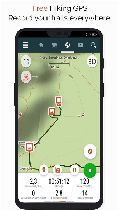
• Record your adventures by tracking your routes and capturing HD, geo-tagged photos.
• Monitor key stats including distance traveled, Km-effort, average speed, calories burned, and more.
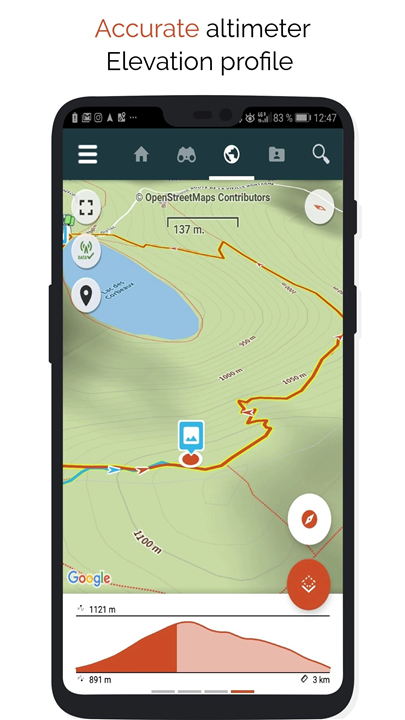
• Utilize an accurate altimeter to calculate elevation changes and view your current location on an elevation profile.
• Receive alerts if you stray from your designated trail—no need to backtrack!
• Enjoy automatic notifications of points of interest with convenient text-to-speech functionality.
• Create a free account to access all your data effortlessly across multiple devices.
• Easily design trails and points of interest on our website.
• Use our online editor on your PC or Mac to craft custom trails, then sync them to your smartphone for on-the-go navigation.
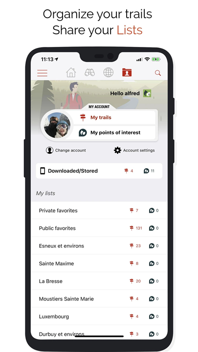
• Organize your trails and points of interest into personalized lists for quick access.
Upgrade to PREMIUM for More Features
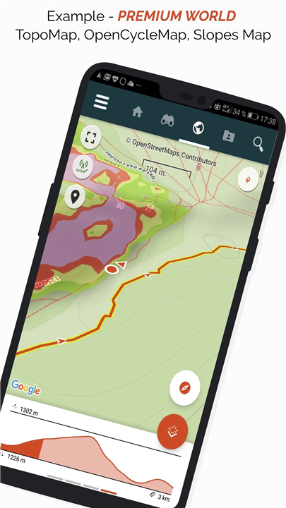
• Download world topographic maps for offline access.
• Explore renowned routes such as GR hiking paths, European trails, and the Santiago de Compostela pilgrimage.
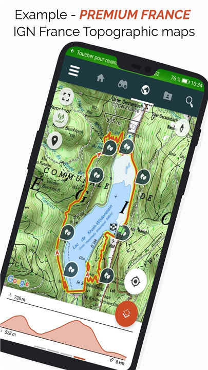
• Add detailed topographic maps from various sources including IGN France, IGN/NGI Belgium, IGN Spain, swisstopo Switzerland, Austria, USGS (USA), and Toporama (Canada).
• Discover extensive cycling networks like the Greenway in France, Ravel in Belgium, European cycling routes, and knot point systems in Flanders and the Netherlands.
• In winter, access comprehensive ski slope maps complete with slope names.
• Browse the public trail catalog contributed by SityTrail members and communities.
• Benefit from advanced tracking and guidance features, including remaining distance/time calculations and voice instructions at intersections.
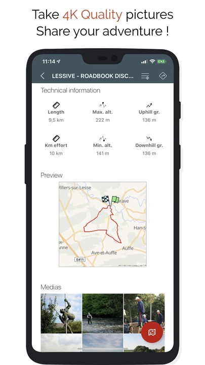
• Transform your favorite trails into rich multimedia guides featuring text, photos, and video links, then share them with the SityTrail community.
• Build and manage your own hiker communities, including member administration and newsfeed updates.
• Use advanced trail editing tools on our website to create and customize trails.
• Print trails in PDF format with QR codes (available in A4 and A3 sizes).
• Access geotagged Wikipedia articles through our SityTrip module.
Trail Recording on Wear OS Watches
• Record trails directly on your Wear OS watch either in standalone mode (without connection to an Android smartphone) or paired mode (connected to an Android smartphone).
• Log in to your existing SityTrail account on the watch’s leftmost screen when operating standalone.
Important Information
• Some features require an internet connection.
• Extended GPS usage may significantly reduce battery life.
FAQ
Q: Can I use the service without creating an account?
A: You can explore some features without an account, but creating a free account enables you to sync and access your data seamlessly across multiple devices and saves your custom trails and points of interest.
Q: How does trail recording work?
A: The app records your route with GPS, tracks stats such as distance, speed, elevation via an accurate altimeter, calories burned, and more. It also captures geo-tagged photos along your route to document your adventure.
Q: Can I record trails using a Wear OS watch?
A: es! You can record trails directly on a Wear OS watch either in standalone mode (without a phone) or paired with an Android smartphone. Simply log in to your SityTrail account to sync data.
Version History
v12.15.8.4——2 Jul 2025
Hiking GPS for all your outdoor activities in the world ! Download the latest version of SityTrail hiking trail GPS to enjoy new features and updates immediately!
*12.15.8.4
- Minor bugfixes
- Improved explanation for trail snapping feature.
*12.15.8.3
- The "Roadbook" guidance mode with realistic symbols at intersections is now also available in the SityTrail app.
- Bug fixes and various improvements.
*12.15.1.55
- General improvement of trail tracking
- The list of available maps is now automatically updated when a subscription is activated
- Easier reconnection in case of authentication error (after a password change, etc.)
- Ability to identify communities pending validation or deleted
- Bug fixes and various improvements



Ratings and reviews
There are no reviews yet. Be the first one to write one.