
Live Satellite View GPS Map APK
16
Live Satellite View GPS Map
Live Satellite View GPS Map APK
Download for Android
Live Satellite View GPS Map Travel Navigation is a complimentary app designed for seamless travel and trip planning. With its tailored search options, it simplifies the journey, making it easier to reach your destination with GPS navigation and real-time maps. User-friendly and efficient, this app ensures you arrive at your desired location effortlessly. Enjoy a free navigation experience packed with online features for the ultimate travel convenience.
Route Finder
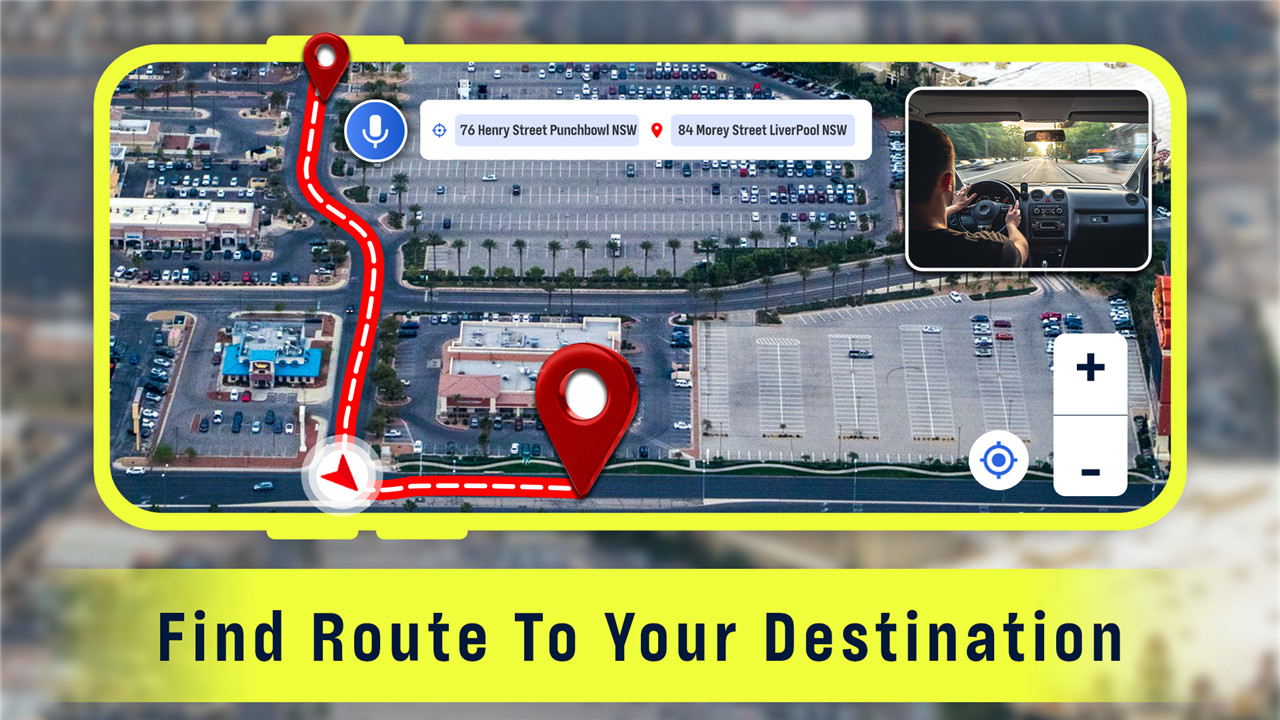
Live Satellite View GPS Map Travel Navigation is a must-have for avid travelers, tourists, and explorers. The app offers GPS maps, navigation, and directions that are invaluable for offline route searches, identifying paths, and drawing the shortest routes. It features a 2D map and helps locate the nearest public places with internet access. You can also save your routes using the GPS route-saving functionality of this mapping tool.
Find Traffic Details
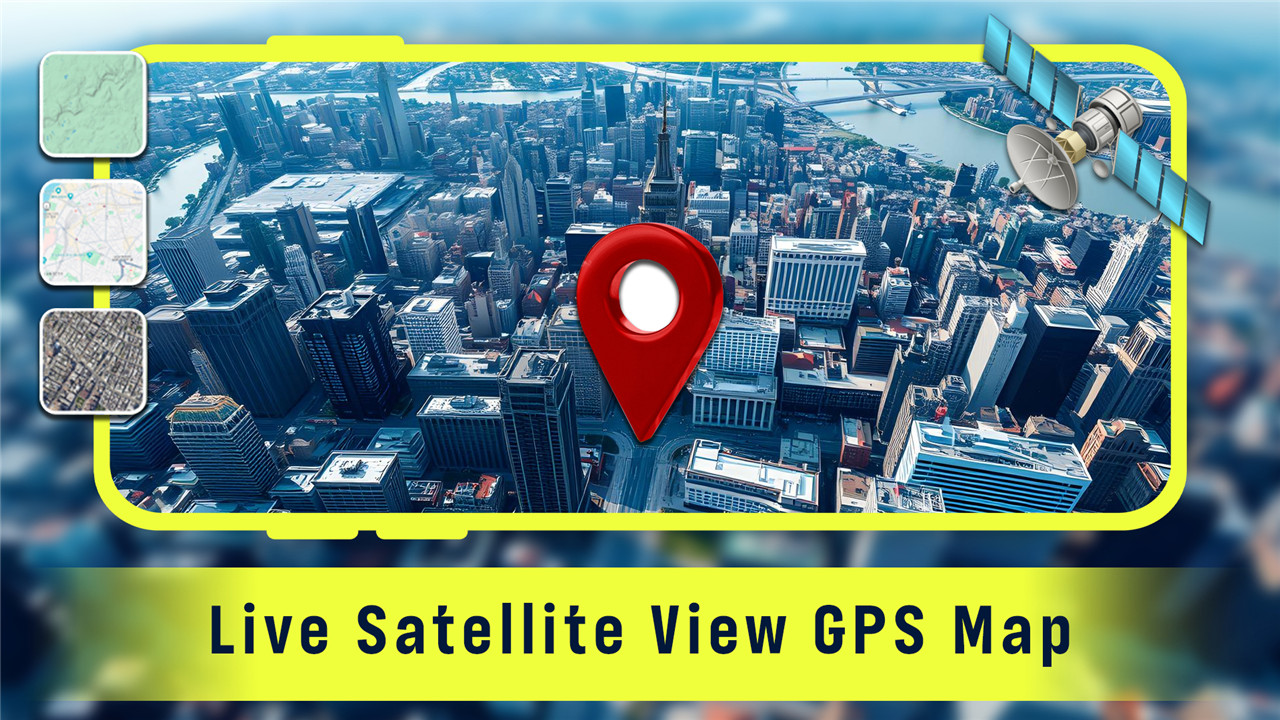
With the GPS Live Street Map and Travel Navigation app, you can explore any corner of the globe. This navigation tool allows for offline location saving and provides maps for every country, ensuring you have the best travel options along your route. Experience live satellite 3D maps and street views, along with comprehensive maps of shopping malls, large markets, and airports. The app includes updated features like a 2D and 3D route planner with voice instructions, catering to tourists traveling by foot, car, bicycle, train, or public bus, complete with automatic rerouting and real-time traffic updates.
Every Destination at Your Fingertips
Discover the wonders of the world with a comprehensive map of India, London, and the United States, complete with live satellite imagery of buildings. Locate your home and explore various places globally, including favorites, tourist attractions, hospitals, businesses, shopping centers, and more, all enhanced with live street views, panoramic directions, and satellite imagery. If you're in a different city and need to find nearby public amenities like ATMs, hospitals, restaurants, airports, bus stops, metro stations, railway stations, gyms, or hotels, easily pinpoint your location, plan your route, and head out. The GPS Live Street Map and Travel Navigation app will assist you in finding routes, providing street map views, and calculating distances and travel times. With this tool, tracking global locations becomes more precise.
Real-time Navigation and Route Sharing
With the GPS Live Street Map and Travel Navigation app, you can venture anywhere in the world. This navigation tool offers offline map saving for all countries, ensuring you have the best travel options along your journey. Experience live satellite 3D maps and street views, along with detailed maps of shopping malls, large markets, and airports. The app features updated functionalities, including a 2D and 3D route planner with voice guidance, making it ideal for tourists traveling by foot, car, bicycle, train, or public transport, complete with automatic rerouting and real-time traffic updates.
Discover, Save, and Share Your Favorite Spots
The GPS Live Street Map and Travel Navigation app is an advanced mapping service that provides route planning for enhanced travel guidance, earth satellite views, 2D driving routes, 3D earth imagery, and tracking capabilities, all powered by cutting-edge technology.
Explore the features of our Live Satellite View GPS Map Travel Navigation App:
✔ User-friendly interface
✔ Option to save and share your routes
✔ Access to offline maps with various choices
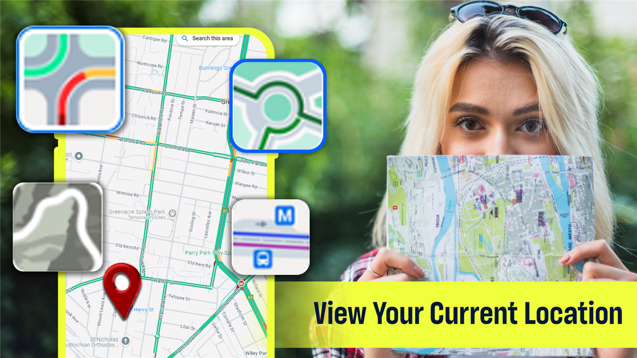
✔ Locate your current position using latitude coordinates
✔ Voice command functionality
✔ Street view of iconic global landmarks
✔ Stunning visuals of the Seven Wonders of the World
✔ Easily find nearby public places with driving directions
✔ Keep a record of your travel history
✔ QR code scanning and link sharing capabilities
✔ Comprehensive geographic data for all countries
✔ Free to download on Android devices
✔ Navigate by car, bike, or on foot with tailored routes
FAQ
Q: What is the Live Satellite View GPS Map Travel Navigation app?
A: The Live Satellite View GPS Map Travel Navigation app is a complimentary travel navigation app designed to simplify trip planning and navigation. It offers GPS navigation, real-time maps, and tailored search options, making it easier to reach your destination efficiently.
Q: Is the app free to use?
A: Yes! The app is free to download on Android devices and provides a range of online features for an enhanced travel experience without any cost.
Q: What features does the app offer for navigation?
A: The app offers various features, including live satellite 3D maps, street views, 2D route planning, voice guidance, offline map saving, real-time traffic updates, and automatic rerouting. It is suitable for users traveling by foot, car, bicycle, train, or public transport.
-----------------
What's New in the Latest Version 16
Last updated on Nov 25, 2024
Explore the world with live satellite view and street view live 360, earth map. Download the latest version of Live Satellite View GPS Map 16 to enjoy new features and updates immediately!
Minor bug fixes and improvements. Install or update to the newest version to check it out!



Ratings and reviews
There are no reviews yet. Be the first one to write one.