
OS Maps: Walk, Hike, Run, Bike APK
5.3.2.1356
OS Maps: Walk, Hike, Run, Bike
OS Maps: Walk, Hike, Run, Bike APK
Download for Android
Embark on your own unique adventures and let OS Maps lead you through breathtaking routes across the UK and beyond. Experience the great outdoors like never before, with the freedom to explore, the confidence to face new challenges, and countless adventures waiting for you. OS Maps, the official app from Ordnance Survey, is your ultimate companion in nature.
Reasons to love OS Maps:
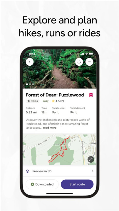
EXPLORE & PLAN YOUR OUTDOOR ACTIVITIES
Whether you're gearing up for a walk, hike, run, or bike ride, OS Maps empowers you to craft your outdoor experiences with reliable mapping and navigation tools from Ordnance Survey, the trusted name in British mapping.
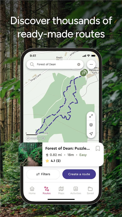
DISCOVER A WEALTH OF READY-MADE ROUTES
Get inspired to venture outside with expertly curated routes from renowned outdoor organizations like Trail, Country Walking, Mountain Bike UK, and BBC Countryfile.
EXPERIENCE ICONIC OS MAPPING
Unlock the precision and detail of OS leisure maps, including OS Explorer 1:25,000 and OS Landranger 1:50,000. Plus, enjoy global mapping and topographic details for the USA, Australia, and New Zealand, allowing you to explore worldwide.
DESIGN YOUR OWN ADVENTURES
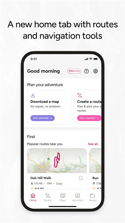
With top-notch route planning and navigation features, you can venture off the beaten path and explore with greater freedom. Easily plot your routes with snap-to-path functionality, then save and share them with friends for your next outdoor escapade.
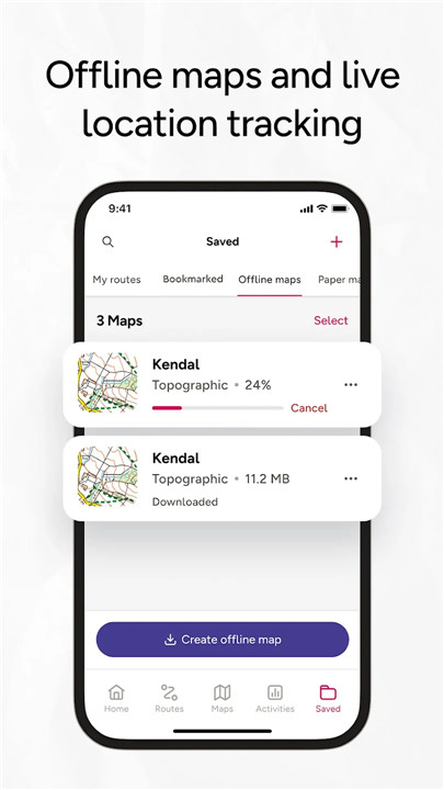
NO SIGNAL? NO WORRIES
Download maps and routes directly to your phone for offline access, ensuring you're prepared no matter where you are. Navigate any part of Great Britain without a signal and export routes to your GPS device.
UNLIMITED PRINTING OPTIONS
Print out copies of your routes and maps for easy reference, so you always have a backup on hand.
ACCESS ON ANY DEVICE
Seamlessly sync your activities across devices, whether on desktop or mobile. Premium users can take advantage of our 3D Aerial Layer and route fly-throughs on desktop to visualize the landscape and terrain in stunning detail.
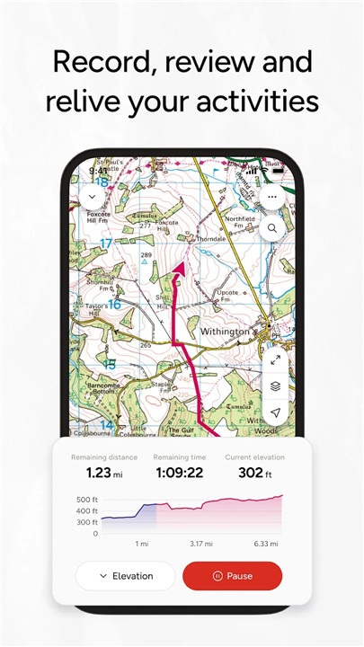
TRACK & LOG YOUR ADVENTURES
Utilize the activity logging feature to maintain a detailed record of your journey history. Track your progress, save your activities, review them, and create new routes to share and revisit later.
ENDORSED BY THE PROS
Ordnance Survey proudly collaborates with Mountain Rescue England & Wales, recommending OS Maps as the go-to app for staying on course and ensuring safety during your outdoor excursions.
AWARD-WINNING MAPPING TECHNOLOGY
For seven consecutive years, OS Maps has been recognized as The Great Outdoor App of the Year! It has also received accolades such as the Yahoo Sports Technology Awards Best App, Outdoor Industry Awards Digital Product of the Year, and Singletrack Best Online Service.
IMPORTANT TIPS
Be aware that continuous GPS usage can significantly drain your battery life. We regularly update all our apps to enhance stability and introduce new features. Topographic maps are available for the UK (including Northern Ireland), USA, Australia, and New Zealand. Your insights and feedback are invaluable to us—feel free to leave a review or reach out via os.uk/contact.
Explore hiking trails, walking paths, cycling routes, and much more with the app that invites you to experience the beauty of the Great British countryside. Whether you’re looking to hike, bike, run, or stroll, uncover thousands of thrilling maps and routes today!
For Terms & Conditions, visit os.uk/termsosmaps.
FAQ
Q: What is OS Maps?
A: OS Maps is the official outdoor app from Ordnance Survey, providing reliable mapping and navigation tools to help you explore breathtaking routes across the UK and beyond. It enables users to plan their outdoor activities, discover ready-made routes, and design their own adventures with ease.
Q: How can I access maps and routes offline?
A: OS Maps allows you to download maps and routes directly to your phone for offline access. This feature ensures that you can navigate any part of Great Britain without a cellular signal, giving you the freedom to explore even the most remote areas.
Q: What types of activities can I plan with OS Maps?
A: OS Maps supports a variety of outdoor activities, including walking, hiking, running, and cycling. Whether you’re planning a leisurely stroll or an adventurous hike, the app provides the tools needed to craft your outdoor experiences.
-----------------
What's New in the Latest Version 5.3.2.1356
Last updated on Nov 22, 2024
Explore the great outdoors with trail maps for hikes, rides and runs Download the latest version of OS Maps: Explore hiking trails 5.3.2.1356 to enjoy new features and updates immediately!
In this release we’ve introduced major improvements to performance of the app, including map loading when online and offline.
In addition to this, OS Maps premium subscribers can now view and plot in 3D across all map types. To turn 3D mode on, go to the map layers icon (three stacked squares) when viewing the map, and toggle on 3D mode





Ratings and reviews
There are no reviews yet. Be the first one to write one.