
MAPinr - KML/KMZ/OFFLINE/GIS APK
4.2.4
MAPinr - KML/KMZ/OFFLINE/GIS
MAPinr - KML/KMZ/OFFLINE/GIS APK
Download for Android
About MAPinr
Thank you for choosing MAPinr, the straightforward, ad-free mapping app designed for professionals and outdoor enthusiasts. Manage, view, and share KML, KMZ, and GPX files directly on your Android device—completely free from tracking, ads, and hidden data storage.
Key Features
• Import, edit, and organize KML, KMZ, and GPX files
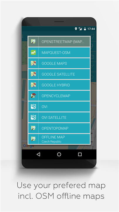
• Access offline maps including OpenStreetMap, OpenTopoMap, OpenCycleMap, satellite, and hybrid views
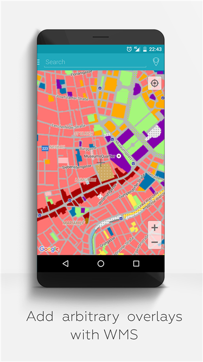
• Support for Web Map Service (WMS) enabling use of your own data sets and OpenData
• Photo mapping to assign geotagged images
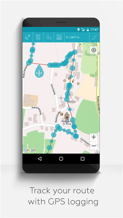
• Track recording and analysis
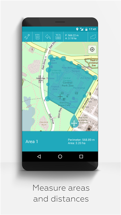
• Measure distances and areas accurately
• Display multiple map layers at the same time
• Organize large datasets with a hierarchical folder structure
• Available in multiple languages such as English, German, and Spanish
Our Commitment
• Completely ad-free and data secure: no background services, trackers, or data collection
• Developed as a non-profit, supported by voluntary donations instead of monetizing user data
• Compatible with older Android versions: For Android 12 and earlier, we offer dedicated versions directly at farming.software
Who Should Use MAPinr?
• Outdoor sports enthusiasts: hiking, cycling, ski touring, trekking
• Professionals in surveying and environmental monitoring
• Privacy-conscious users seeking secure mapping tools
• Small-scale farmers, permaculture practitioners, agroforestry, market gardeners, and hobby gardeners
We Welcome Your Feedback
• MAPinr thrives through user interaction. If you have suggestions, questions, or encounter any issues, please contact us at: mapinr@farming.software
Please help us improve the app by:
• Providing constructive feedback rather than just negative ratings
• Sending detailed error reports including your device model, Android version, and a brief problem description
• Suggesting features that we can evaluate for usefulness and community benefit
While our resources are limited, we strive to regularly implement valuable improvements. Constructive criticism is helpful only when understood—please rate fairly.
FAQ
Q: Which file formats does MAPinr support?
A: MAPinr supports KML, KMZ, and GPX files for importing, editing, and organizing your geographic data.
Q: Can I use MAPinr offline?
A: Yes, MAPinr includes offline maps such as OpenStreetMap, OpenTopoMap, OpenCycleMap, satellite, and hybrid views, enabling use without an internet connection.
Q: Does MAPinr support custom map layers or data sets?
A: Yes, MAPinr supports Web Map Service (WMS), allowing you to add your own data sets and utilize OpenData layers.
Version History
v4.2.4——2 Jul 2025
Easy KML/KMZ/GPX management. GIS. Measuring. GPS logging. WMS. Offline maps. Download the latest version of MAPinr - KML/KMZ/OFFLINE/GIS to enjoy new features and updates immediately!
*4.2.4
Map Clustering Settings added to reduce performance issues.
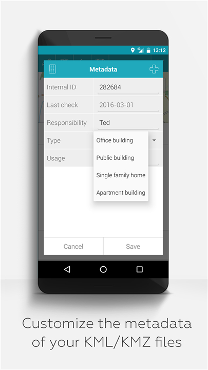
Metadata AutoFill setting added. Allows to automatically fill metadata attributes on elements based on folder, file or overall.
Improved Polyline and Polygon display
*4.2.3
fixed support for multiple document in one kml file
improved import speed issues due to style tags
*4.2.1
DB Version Updated
Copy/Move Folder added
Copy/Move Placemark added
import BUG for Containers fixed
internal file cleanup for temporary images and kmz folders



Ratings and reviews
There are no reviews yet. Be the first one to write one.