Trail Sense
Discover the wilderness without needing the Internet.
• Trail Sense empowers you to navigate, plan, and explore confidently—whether you’re hiking, camping, backpacking, or geocaching.
• Every feature operates offline using your phone’s built-in sensors, ensuring your adventure continues even where signals fade.
Key Features
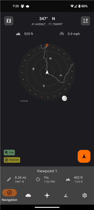
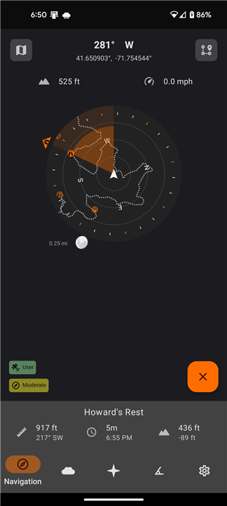
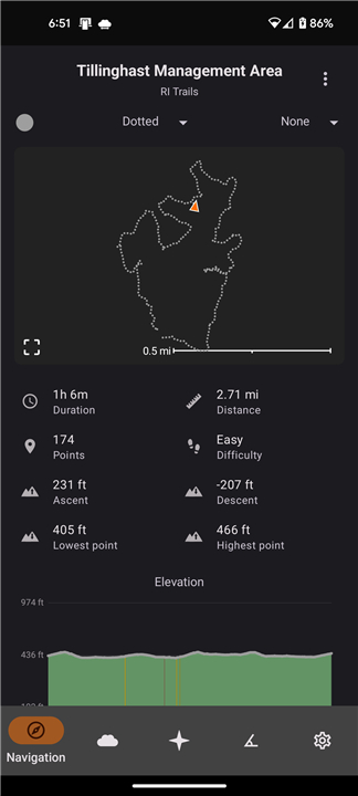
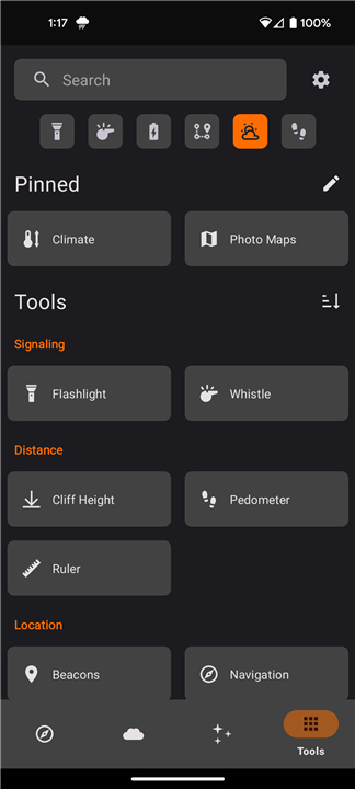
• Navigation Tools: Set beacons, follow paths, and find your way back with the backtrack feature.
• Compass & Orientation: Use your phone as a compass—available on devices equipped with a magnetic sensor.
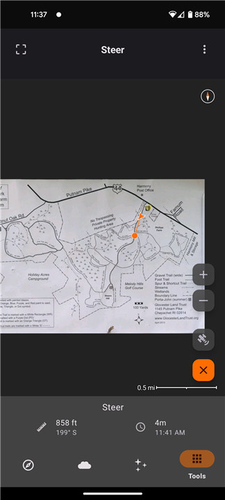
• Photo Mapping: Turn your own images into detailed maps.
• Gear Planning: Prepare and manage what you need to bring on your trip.
• Sunset Alerts: Receive reminders before the sun sets so you can set up camp safely.
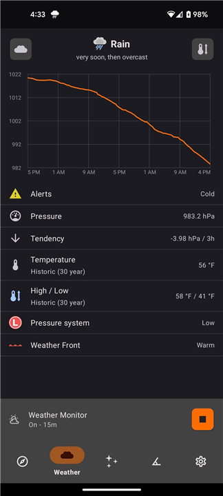
• Weather Insights: Forecast upcoming conditions when your device includes a barometer.
• Lighting Support: Transform your phone into a flashlight whenever extra visibility is needed.
• And much more: Trail Sense continues to grow with new tools designed for life outdoors.
A Tool for True Adventurers
• Trail Sense is just one of the tools in your outdoor kit.
• As with any piece of gear, always carry backups and know how to use them—especially traditional tools like a map and compass.
• Data accuracy depends on several factors such as calibration, sensor quality, and environmental conditions.
• Use the app as an aid, not a replacement for experience and preparation.
*Important:
• Trail Sense never connects to the Internet.
• All information comes from your device’s sensors, and no data is collected or transmitted.
Common Questions
• Missing Compass?
+ Some phones lack the necessary hardware for compass features.
+ The rest of Trail Sense will still function normally.
• No Weather Updates?
+ Weather predictions are limited to devices with a barometric sensor.
Get Involved
If you find an issue or have a feature suggestion, reach out directly:
• Email: trailsense@protonmail.com
• GitHub: github.com/kylecorry31/Trail-Sense
Trail Sense is developed and maintained by a single creator who strives to provide support across a wide range of devices.
Permissions Explained
• Notifications: Used for alerts such as backtrack, weather updates, sunset reminders, astronomy events, and timers.
• Location: Enables navigation, weather calibration, and astronomy features.
• Background Location: Maintains location tracking for certain alerts and improves reliability of backtrack and weather monitoring.
• Physical Activity: Utilizes your phone’s pedometer to measure distance.
• Camera: Required for tools such as the sighting compass, clinometer, cloud scanner, QR code scanner, and photo maps.
• Alarms & Reminders: Ensures accurate notifications for time-sensitive tools like sunset alerts and the clock function.
Learn More
• Privacy Policy: kylecorry.com/Trail-Sense/#privacy
• FAQ: github.com/kylecorry31/Trail-Sense#faq
• License: Trail Sense is open-source under the MIT License.
+ https://opensource.org/license/mit/
Trail Sense reminds you that exploration begins where connectivity ends—trust your instincts, your skills, and the tools you carry.
FAQ
Q: Does Trail Sense need an Internet connection to work?
A: No, Trail Sense never connects to the Internet. All its features operate entirely offline, drawing data only from your device’s sensors. This means you can use it anywhere in the world without worrying about connectivity or data usage.
Q: How accurate are the navigation and sensor readings in Trail Sense?
A: Accuracy depends on your phone’s hardware quality, calibration, and environmental conditions. For best results, regularly calibrate your compass and ensure your sensors are functioning properly. Remember that Trail Sense is designed to complement—not replace—traditional navigation methods such as maps and compasses.
Q: My phone doesn’t show compass data. Why is that?
A: Some phones do not include a magnetic sensor, which is required for compass-related features. If your device lacks this sensor, the compass and orientation tools will not work, but the rest of the app’s functions remain fully operational.
Version History
v1.0.10——21 Oct 2025
Use your phone's sensors to assist with wilderness treks Download the latest version of Trail Sense to enjoy new features and updates immediately!
*1.0.10
Battery
• Improve battery tool layout
• Add system battery saving tips
Signal Finder
• Improve cell tower locations
Map layers
• Add cell towers layer
• Estimate distance to connected cell tower
Navigation
• Tap beacon name to open it while navigating
Ballistics
• Add ballistics calculations (drop, velocity)
Weather
• [Experimental] Show pressure forecast on chart
Misc
• Add tool shortcuts to homescreen
• Add widget theme customization
• Use custom compass sensor source by default
*7.2.0
Map layers
• Add elevation and hillshade layers
• Add color settings for contour layer
• Add background color setting for paths layer
Field Guide
• Add sightings log for each page
White Noise
• Add sound chooser: noise (white, pink, brown), crickets, waves, fan
Augmented Reality
• Show constellations
• Increase exposure at night
Packing Lists
• Remember last category
Signal Finder
• Show estimated signal distance (experimental)
*7.1.0
Map tool (new)
• View all beacons, paths, photo maps, etc. on a map
• Basemap layer (color based on satellite imagery)
Map layers
• Add contour layer
• Map layer settings on Navigation, Photo Maps, and Map tools
Photo Maps
• Auto calibrate more PDFs (ex. USGS GeoPDF)
• Improve PDF rendering
Augmented Reality
• See visible planets and meteor showers at night
• Improve focus when pointed at the sky
Survival Guide
• Content updates







Ratings and reviews
There are no reviews yet. Be the first one to write one.