IGN Maps is a fully comprehensive and entirely free cartographic and navigation application developed by the esteemed French National Institute of Geographic and Forest Information (IGN).
This innovative application is readily accessible on a wide range of mobile devices and tablets, making it convenient for users to access valuable geographic data anytime and anywhere.
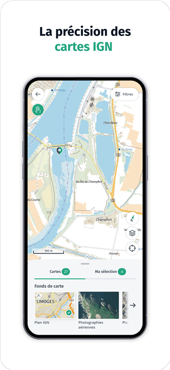
IGN Maps represents the culmination of extensive research and dedication to providing users with the highest precision in cartography, featuring not only meticulously crafted IGN base maps, but also including intricate plans and topographic maps that capture the nuanced details of the French terrain.
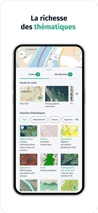
What truly sets IGN Maps apart is its rich repository of thematic geographic data, which has been carefully curated by IGN and its numerous trusted partners.
This vast information landscape encapsulates a multitude of topics, allowing users to immerse themselves in various facets of the French territory.
From administrative boundaries and land use categories to specific details about agriculture, forestry practices, tourism attractions, and protected natural areas, the application serves as a robust tool for anyone eager to explore and deepen their understanding of France's diverse landscapes.
Interactive Features
• Interactive Map:
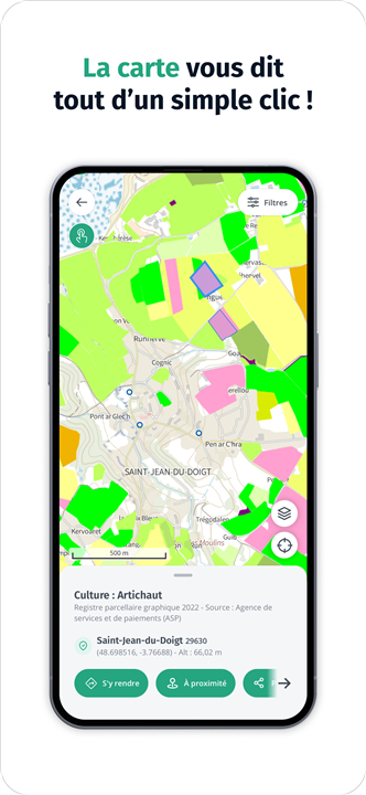
- Click on the interactive map to uncover additional insights about the French territory, such as specific characteristics of buildings or the types of crops being cultivated in fields.
Environmental Awareness
• Climate Change Insights:
- Experience the changing landscapes of France due to climate change.
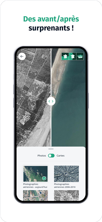
- The application enables users to compare IGN maps and aerial photographs from different time periods, offering a unique perspective akin to that of a geographer.
- Observing the transformations from an aerial view highlights the significant impact of human activities on the terrain.
User-Friendly Navigation
• Points of Interest:
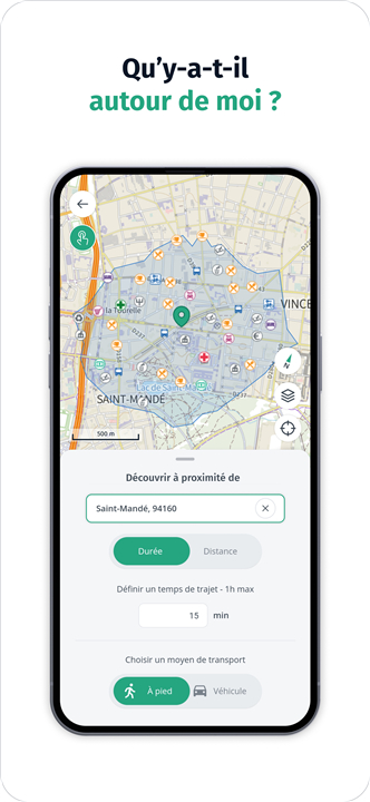
- IGN Maps helps users discover interesting locations nearby. It is designed for everyone, ensuring ease of use while providing a suite of practical navigation tools.
• Privacy Features:
- The application offers functionality that allows users to navigate without being tracked. Users can:
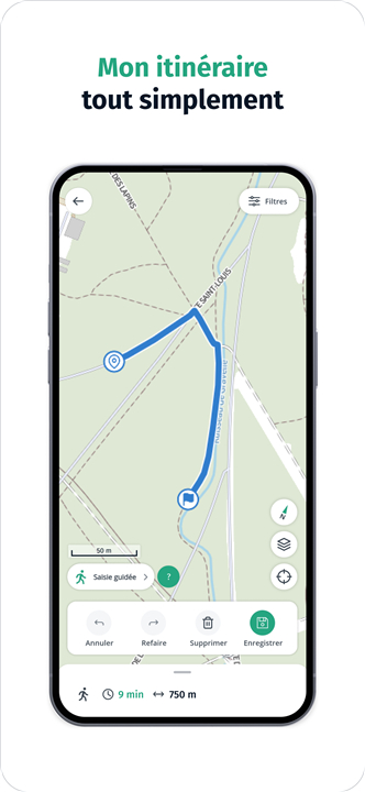
+ Calculate and plan a route
+ Trace their own route
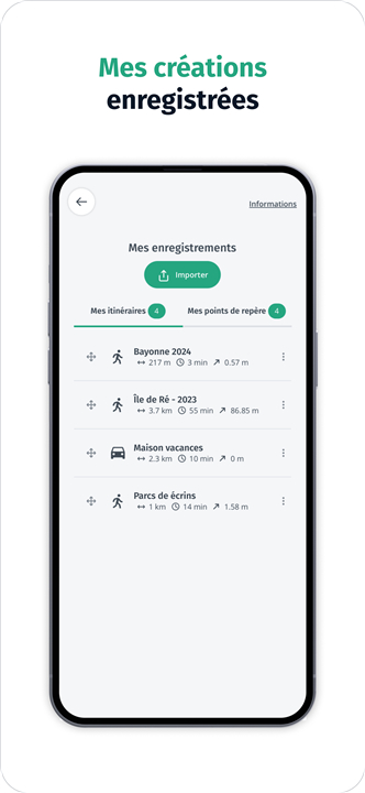
+ Create and save landmarks
+ Display their current position
+ Share their location with friends and family
Embark on an exciting journey to explore the diverse landscapes and features of the French territory with IGN Maps. This application not only facilitates navigation but also fosters understanding and appreciation of the environmental and cultural aspects of France.
FAQ
Q: Is IGN Maps available for all mobile devices?
A: Yes, IGN Maps is readily accessible on a wide range of mobile devices and tablets, ensuring that users can access valuable geographic information anytime and anywhere.
Q: What types of maps does IGN Maps offer?
A: IGN Maps features meticulously crafted base maps, intricate plans, and topographic maps that detail the nuances of the French terrain. Users can find a variety of thematic geographic data covering topics such as land use, agriculture, forestry, tourism attractions, and protected natural areas.
Q: How can I use the interactive map in IGN Maps?
A: The interactive map allows users to click on specific areas to uncover additional insights about the French territory, including characteristics of buildings and types of crops being cultivated in nearby fields.
Version History
v3.2.9——26 May 2025
Discover France differently and observe the evolution of the territory Download the latest version of Cartes IGN to enjoy new features and updates immediately!
*3.2.9
Correction de problèmes d'affichage sur le bouton "gestion de couches" et dans le mode comparer
*3.2.8
AJOUTS :
- Téléchargement de plan IGN pour consultation hors ligne
- Informations contextuelles dans les lieux pointes et "ou suis-je"
- Couche des sites UNESCO
MODIFICATIONS :
- Inversement de la position des boutons "Couches" et "Plein écran"
CORRECTIONS :
- Lancement de l'appli en mode avion
- Plan IGN se met au dessus de toutes les autres données
*3.1.35
- Correctifs divers de bugs et coquilles.
- Passage des flux cartographiques sur le canal pérenne






Ratings and reviews
There are no reviews yet. Be the first one to write one.