VFRnav is a specialized navigation app designed for pilots flying under Visual Flight Rules (VFR). Combining the functionality of a moving ICAO-style map with comprehensive flight planning and recording features, VFRnav provides a reliable and efficient tool for navigating the skies.
Map-Based Navigation
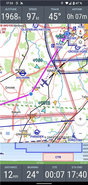
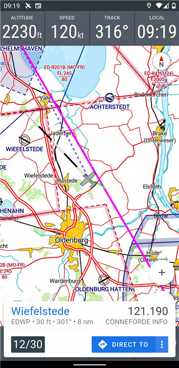
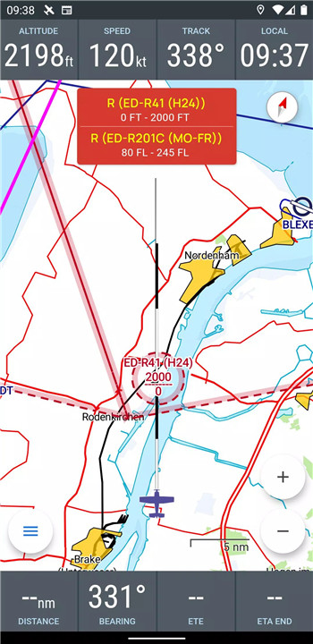
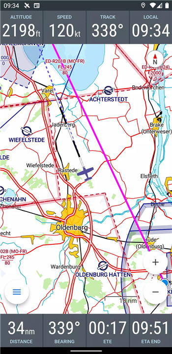
VFRnav provides real-time navigation on an ICAO-style map, allowing pilots to see their flight routes clearly. The moving map updates your current position during flight, ensuring that you’re always aware of your location.
Offline Operation
Once set up, VFRnav functions offline, allowing pilots to navigate even in areas without active internet connectivity. This makes the app reliable in remote regions or on long flights where access to the internet might be limited or unavailable.
Comprehensive Database
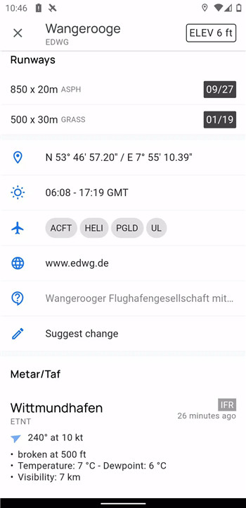
The app offers a comprehensive database with detailed information on airports, waypoints, and navigation aids across numerous European countries. This ensures that pilots can plan their routes with accurate, up-to-date data.
Flight Planning Tools
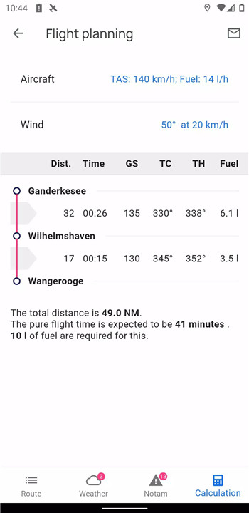
VFRnav helps pilots plan their routes efficiently. The app assists with fuel calculations, flight time estimation, and integrates weather data and NOTAMs (Notices to Airmen) for the planned route.
Digital Flight Logbook
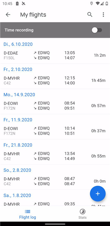
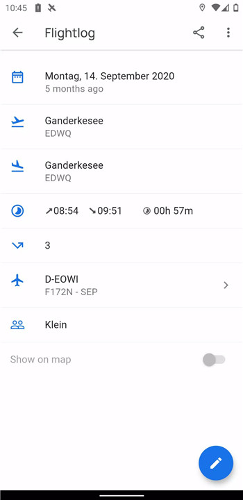
VFRnav automatically records flight details such as takeoff and landing times. You can easily export flight data as KML files for use in other applications like Google Maps.
External Sensor Integration
For enhanced navigation, VFRnav supports integration with external GPS receivers and traffic data sources such as FLARM, Stratux, CCAS, SafeSky, and ADS-B via WiFi or Bluetooth.
FAQs
1. How much does VFRnav cost?
VFRnav is available for €49.95, which provides access to one year of free updates. After the initial period, you can renew your updates. The app remains fully functional even without updates.
2. Can I use VFRnav offline?
Yes, VFRnav works fully offline after the initial setup. You can navigate, plan routes, and access your flight data without needing an active internet connection.
3. What is included in the VFRnav database?
The app includes a comprehensive database of airports, waypoints, and navigation aids across numerous European countries, giving pilots essential information for flight planning.
4. Can I export my flight data from VFRnav?
Yes, VFRnav allows you to export your flight data as KML files, which can be used in other applications such as Google Maps for further analysis or sharing.
5. Does VFRnav support external sensors?
Yes, VFRnav can integrate with external GPS receivers and traffic data sources (e.g., FLARM, Stratux, CCAS, SafeSky, ADS-B) via WiFi or Bluetooth, offering enhanced navigation and situational awareness.
Version History
v4.2.0—30 May, 2024
Fix: aircraft delete option not available
Fix: DFS AIP Link fixed
v4.1.2
New: Notam translations
New: Notam share options
New: vertical airspace view improved
Fix: move maps to sd-card
Fix: user waypoint not updated in route after change
Fix: translations
Fix: flight form does not accept date before year 2000
Fix: some ui bugs
Updated api level
Fix: wrong color for TRA airspace
v4.1.2—30 Mar, 2025
Minor bug fixes and improvements. Install or update to the newest version to check it out!
v4.1.1—7 May, 2024
New: vertical airspace view improved
Fix: move maps to sd-card
Fix: user waypoint not updated in route after change
Fix: translations
Fix: flight form does not accept date before year 2000
Fix: some ui bugs
Updated api level
Fix: wrong color for TRA airspace



Ratings and reviews
There are no reviews yet. Be the first one to write one.