Introducing BAYERNINFO MAPS: Your All-in-One Travel Companion
BAYERNINFO MAPS combines “route planning for cars” and “travel information for bus & train” into a single, easy-to-use app — and best of all, it’s completely free!
Whether you’re driving, taking public transport, cycling, or walking, BAYERNINFO MAPS helps you get where you need to go with less stress and greater confidence.
Why Choose BAYERNINFO MAPS?
• Travel surprises are becoming increasingly rare thanks to smart planning.
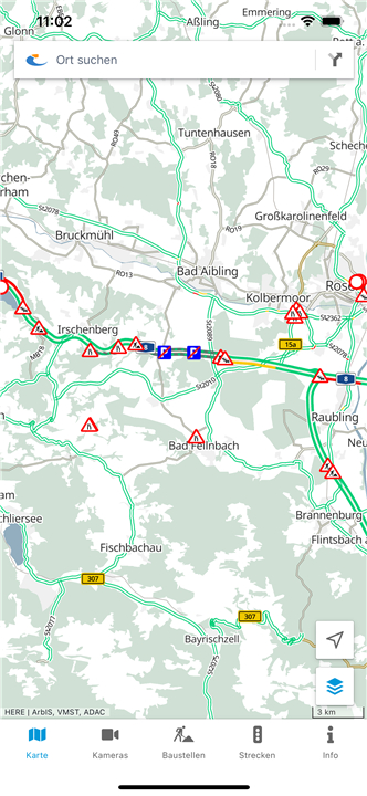
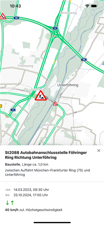
• With BAYERNINFO MAPS, you can avoid unexpected delays and inconveniences by knowing about construction sites, road closures, and traffic jams before you hit the road.
• If disruptions occur during your journey, the app offers alternative route suggestions, helping you reach your destination more efficiently.
Key Features
• Real-Time Traffic Updates:
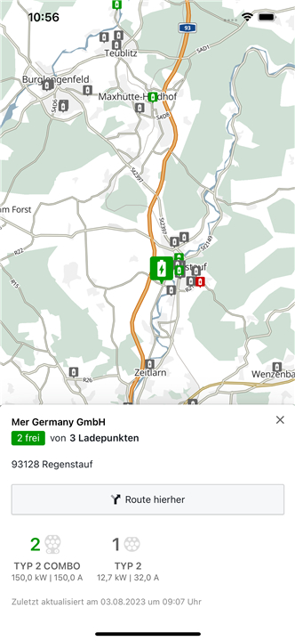
- Stay informed about the current traffic situation across all of Bavaria, including known construction sites, closures, and up-to-date traffic reports.
• Live Traffic Cameras:
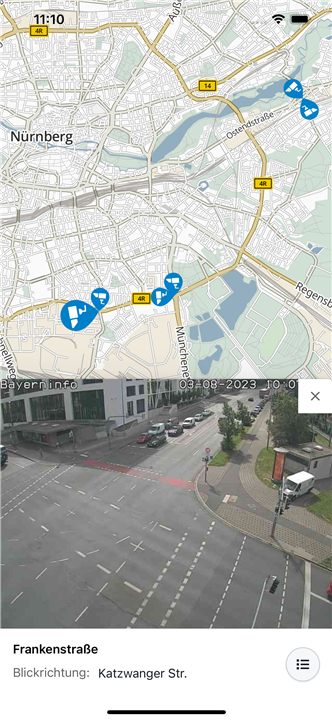
- Access images from approximately 500 traffic cameras located along motorways, federal, and state roads in Bavaria and neighboring areas. (Note: Availability of live images is currently limited due to ongoing developments in Europe.)
• Intermodal Route Planning:
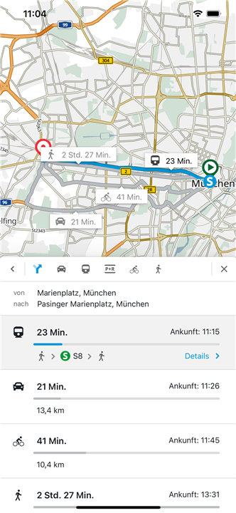
- Plan your trip seamlessly whether by car, bus, or train. You can also include options for Park & Ride facilities, bicycles, and pedestrian routes.
• Public Transport Information:
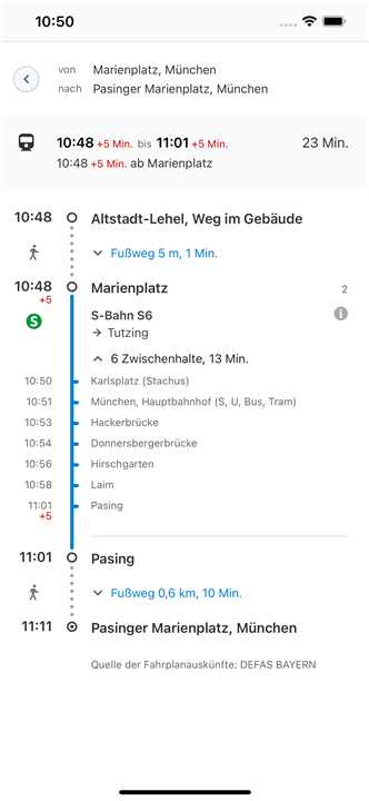
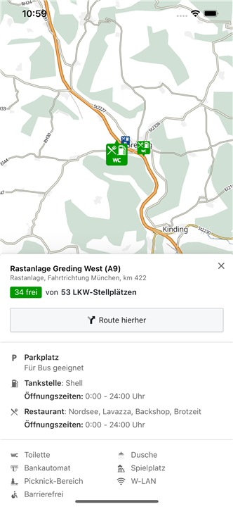
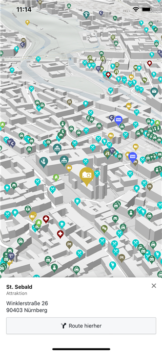
- Check stops, points of interest (POIs), current departure times, and delays for buses and trains to stay on schedule.
• Construction Site Calendar:
- Keep track of upcoming and ongoing construction projects directly from your phone.
• Route Overview:
- Quickly view current delay times on selected routes to choose the fastest option.
Permissions Explained
To provide you with the best possible experience, BAYERNINFO MAPS requests the following permissions:
• Precise Location (GPS):
- Enables displaying your current position and creating routes from or to your location.
• Full Internet Access:
- Needed to retrieve map data, route searches, and real-time updates from the server.
• Access to Protected Memory:
- Allows caching of map data to speed up your experience even when offline.
Support and Funding
• Services provided by BAYERNINFO MAPS are co-financed by the European Union as part of the BayernInfo project, ensuring high-quality and reliable travel information for all users.
BAYERNINFO MAPS – Mobile information for relaxed journeys and safe arrivals!
FAQ
Q: Do I have to pay to use BAYERNINFO MAPS?
A: No, BAYERNINFO MAPS is completely free to use. It’s funded partly by the European Union to provide reliable travel information to everyone.
Q: Can BAYERNINFO MAPS help me avoid traffic delays?
A: Yes! The app provides real-time traffic updates, including information about construction sites, road closures, and traffic jams, so you can plan your route to avoid delays.
Q: Does BAYERNINFO MAPS only support car travel?
A: No, BAYERNINFO MAPS supports multiple modes of transport. You can plan routes for cars, public transport (bus & train), bicycles, and pedestrians. It even includes Park & Ride options.
Version History
v4.9.4——1 Jul 2025
BAYERNINFO.MAPS: traffic information, Webcams, driving directions, parking, bus & train Download the latest version of BayernInfo Maps to enjoy new features and updates immediately!
*4.9.4
Zusätzliche Routenalternativen für Radfahrer mit Höhenprofil
Verkehrsmeldungen aus Nachbarregionen
*4.8.3
- BayernInfo-Links werden in der App geöffnet, falls die App installiert ist
- Optimierung der QR-Codes
- Fehlerbehebungen
*4.7.0
Erweiterungen der ÖV-Schnittstelle



Ratings and reviews
There are no reviews yet. Be the first one to write one.