

NextGIS Mobile
Overview
• Discover a new era of location intelligence with NextGIS Mobile, a versatile platform designed to turn your mobile device into a powerful spatial studio.
• Whether you are charting unexplored terrain, conducting detailed environmental surveys, or managing city infrastructure, this application empowers you to explore, capture, and understand the world around you with complete creative freedom.
Expressive Mapping and Visual Control
1. Limitless Data Integration:
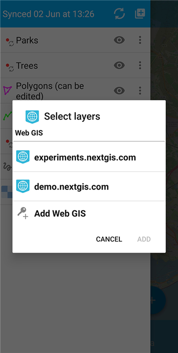
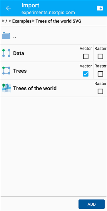
• Seamlessly blend live web services—such as OpenStreetMap, WMS, and TMS—with your own offline files, including GeoTIFF, GeoJSON, and SQLite, creating a rich visual landscape tailored to your mission.
2. Customizable Layering:
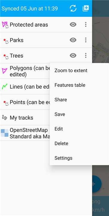
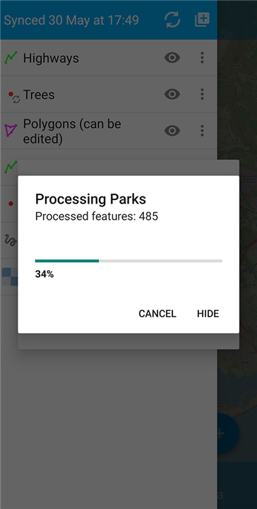
• Tailor your display effortlessly by adjusting layer visibility, changing display orders, and fine-tuning transparency to highlight what matters most.
3. Fluid Touch Navigation:
• Interact naturally with your maps using intuitive gestures to pan, zoom, and rotate, keeping your focus anchored on the terrain ahead.
Powerful In-the-Field Data Capture
1. Complete Vector Editing:
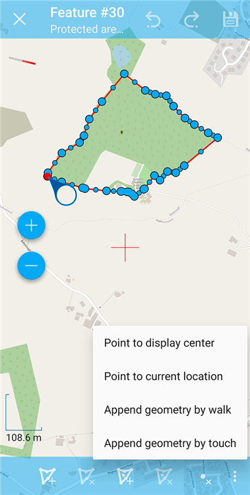
• Draw, adjust, or refine points, paths, and complex polygons directly on-site, turning real-world observation into actionable spatial data instantly.
2. Structured Information Gathering:
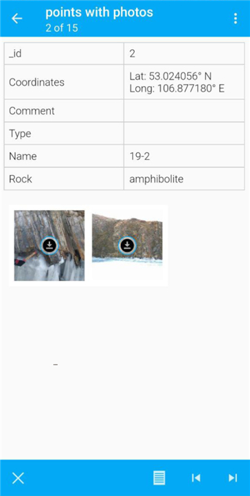
• Record descriptive details and feature attributes effortlessly using clean, user-friendly forms designed for fast input in the field.
3. Uninterrupted Offline Freedom:
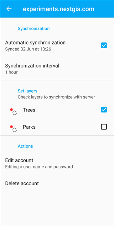
• Work without limits, even in the most remote off-grid locations; your captured data securely stores on your device and automatically synchronizes with NextGIS cloud servers the moment connectivity is restored.
Precision Tracking and Live Insights
1. Continuous Journey Logging:
• Trace every step of your path with high-precision GPS tracking, ideal for mapping routes, conducting linear surveys, or keeping track of field operations.
2. Real-Time Telemetry:
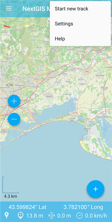
• Gain instant awareness of your surroundings with live metrics displaying your exact coordinates, altitude, movement speed, and directional heading at a glance.
FAQ
Q: Can I combine live web map services with my offline files?
A: Yes, absolutely! NextGIS Mobile supports limitless data integration, allowing you to seamlessly blend live web services like OpenStreetMap, WMS, and TMS with your own offline files to create a customized visual map tailored to your specific project needs.
Q: Which offline spatial file formats does NextGIS Mobile support?
A: You can work with a variety of standard offline data formats directly on your device, including GeoTIFF rasters, GeoJSON spatial files, and SQLite databases. This makes it simple to access your critical datasets anywhere.
Q: How can I customize the visual display of my map layers?
A: NextGIS Mobile gives you complete visual control over your maps. You can easily adjust layer visibility, reorder display priorities, and fine-tune layer transparency to highlight the most relevant spatial details for your current task.
Version History
v3.1.0——4 Aug 2026
Mobile GIS for field data collection and editing. Download the latest version of NextGIS Mobile to enjoy new features and updates immediately!
*3.1.0
Minor bug fixes and improvements. Install or update to the newest version to check it out!
*3.0.3
Minor bug fixes and improvements. Install or update to the newest version to check it out!
*3.0.2
Minor bug fixes and improvements. Install or update to the newest version to check it out!











Ratings and reviews
There are no reviews yet. Be the first one to write one.