

SexyTopo
Overview
• SexyTopo is a comprehensive software solution designed to streamline the cave surveying process.
• By serving as a digital bridge between field measurement hardware and cartographic creation, it allows surveyors to produce precise, intricate cave maps with greater efficiency than traditional manual methods.
Core Functionality
1. Hardware Integration:
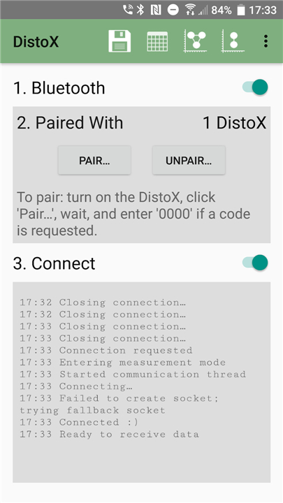
• The software fully interfaces with the Disto-X, an automated laser-distometer.
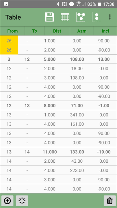
• It captures real-time distance, bearing, and inclination data directly from the device to eliminate manual transcription errors.
2. Model Generation:
• As data is ingested, SexyTopo constructs a geometrically accurate three-dimensional skeleton of the cave passage, providing a reliable spatial framework for further artistic rendering.
3. Digital Sketching:
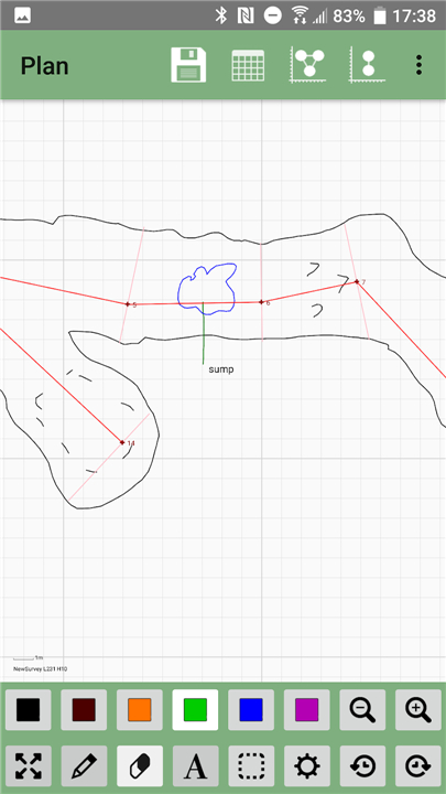
• Beyond the raw data, the software offers a dedicated sketching environment.
• Surveyors can overlay detailed topographical features, such as rock formations, sediment patterns, and passage textures, directly onto the surveyed model to create comprehensive maps.
Development Status and Warnings
1. Beta Software:
• SexyTopo remains in the beta development phase.
• While functional, it is subject to active revisions, meaning users may encounter missing features or unexpected performance issues.
2. Data Stability:
• Due to its ongoing development, there is no guarantee of total data integrity.
• Users are strongly advised to maintain frequent backups, as the software currently carries a inherent risk of data loss or corruption during operation.
3. Support and Feedback:
• Community collaboration is vital to the project's success.
• If you encounter technical difficulties, please submit detailed bug reports via the official GitHub repository (search for "sexytopo").
• Furthermore, if the application generates automated error logs, please submit these to the developers to assist in troubleshooting and platform stabilization.
FAQ
Q: Is SexyTopo compatible with any laser-distometer?
A: Currently, the software is built to interface fully with the Disto-X, which is the industry standard for automated laser-distometers. It pulls distance, bearing, and inclination data directly from the device to ensure your survey measurements are as accurate as possible.
Q: Does SexyTopo handle the manual transcription of survey data?
A: One of the primary benefits of using SexyTopo is that it eliminates the need for manual transcription. Because it captures data in real-time directly from your hardware, you can avoid the common human errors that often occur when copying numbers from a field notebook into a computer.
Q: How does the software create the cave model?
A: As you feed data into the application, SexyTopo automatically constructs a mathematically accurate three-dimensional skeleton of the cave passage. This provides a reliable spatial foundation, which serves as the base for all your later artistic mapping and rendering.
Version History
v1.12.1——8 Jul 2026
Streamline your cave surveying with SexyTopo. Integrate Disto-X data, generate 3D models, and create precise digital cave maps efficiently. Download the latest version of SexyTopo to enjoy new features and updates immediately!
*1.12.1
• Fix SVG export writing station label coordinates broken in some locales
*1.12.0
• Separate cross-section editing view which also allows moving of sections and orientation adjustment (legacy behaviour can be mostly restored in Settings)
• Data import improvements: better error reporting & allow theolidite readings (thanks Andrew Atkinson)
• Toggleable option to automatically sketch water as blue
• SVG export improvements, including an optional legend and scale bar
• Added "Add Leg" and "Add Splay" to the Tools menu
• Setting for turning on/off floating buttons on Table view (thanks Andrew Atkinson)
• Therion export improvements (thanks Andrew Atkinson)
• Allow commenting on first station (thanks Andrew Atkinson)
• Selectable leg combination method, with endpoint-distance and pairwise options that handle steep legs correctly (#321)
• Inclination now always shows + or - in table
• Pinch-to-zoom now turn-offable
• Made deletion of details easier
• Fix a bug stopping deletion of text details
• Guard against leaving sketch artefacts (dots etc.) on long-pressing to open menu
*1.11.2
Fix a bug causing cross-sections to be initially hidden










Ratings and reviews
There are no reviews yet. Be the first one to write one.