Smartarea is your mobile solution for quickly and accurately measuring distances and areas, right from your smartphone. Whether you're working on construction, estimating land sizes, calculating roof surfaces, or even setting up a sports field, Smartarea transforms your phone into a GPS-powered measuring tool.
Designed for professionals and everyday users alike, Smartarea leverages your phone’s built-in GPS to deliver fast, accurate results without the need for expensive external devices. With intuitive controls and seamless map integration, it’s the perfect tool for fieldwork and real-world measurements.
GPS-Powered Measurements
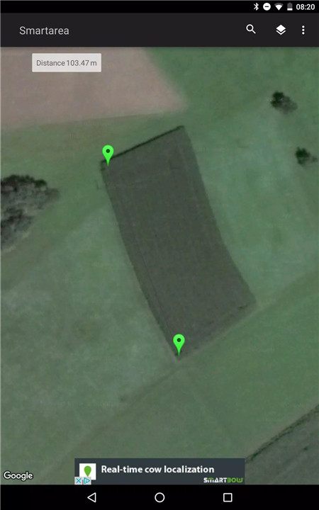
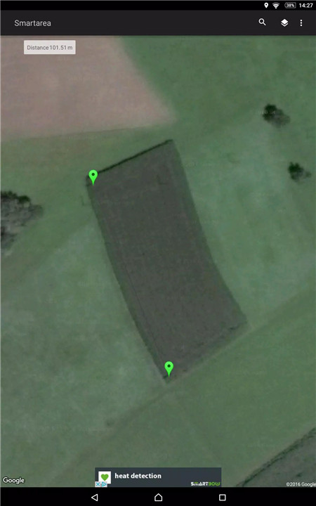
Smartarea uses your smartphone’s GPS signal to calculate distances and area sizes directly on the map. Just launch the app and you’re ready to start measuring your surroundings, property, or project site—no setup required.
Google Maps Integration
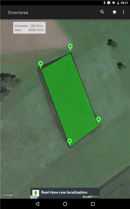
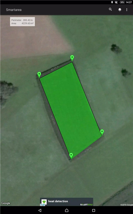
All measurements are overlaid directly onto Google Maps for clarity and accuracy. You can choose between standard map view and satellite imagery to better visualize the terrain you're working with.
Simple Point Management
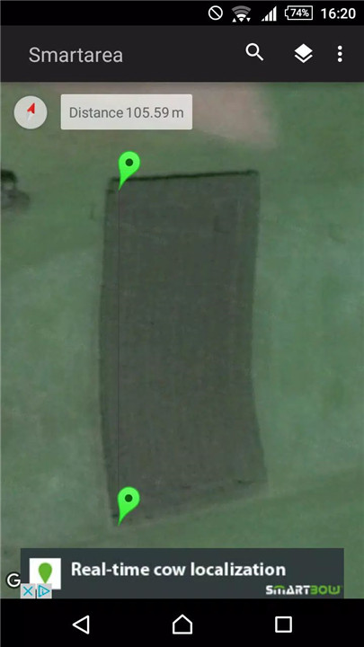
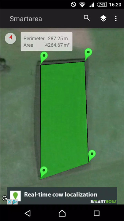
Create measurement points by simply tapping on your screen. You can add, move, or delete points to fine-tune your measurement path. Whether you’re drawing out a backyard or outlining a large field, the control is entirely in your hands.
Location Search & Auto-Centering
Easily locate your current position using GPS or your network connection. Smartarea centers and scales the view automatically to fit your working area, making navigation and mapping effortless.
Customizable Units
Smartarea supports multiple measurement units, allowing you to choose between meters, feet, acres, hectares, and more—depending on your project needs.
Export & Share
Once your measurements are complete, you can:
· Export the data to Google Earth or Google Maps using a KML file
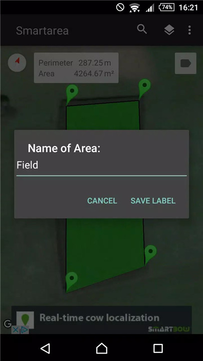
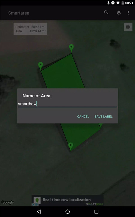
· Save and name individual measurement sets
· Share your results via email as .png images or KML files
This makes it easy to share accurate plans or visual references with clients, colleagues, or team members on the go.
FAQs
1. How does Smartarea measure areas and distances?
Smartarea uses your phone’s GPS signal and overlays your measurement points onto Google Maps for accurate distance and area calculations.
2. Can I adjust or remove points after setting them?
Yes, you can tap to add, move, or delete measurement points at any time, giving you complete control over your mapped areas.
3. Which units can I use for measurement?
The app supports various units including meters, feet, acres, and hectares—you can select the one that fits your needs.
4. Is there a way to export or share my measurements?
Absolutely. You can export your measurements as KML files for Google Earth/Maps or email them as images and data files directly from the app.
5. Does Smartarea work without mobile internet?
Smartarea relies on GPS and may require a network connection for map loading, but many features will still work offline after initial loading.
Version History
v2.3.4—23 Aug, 2023
Bugfixes and performance improvements
v2.3.2—9 Jul, 2021
Bugfixes and performance improvements
v2.3.1—22 Apr, 2019
Bugfixes and performance improvements




Ratings and reviews
There are no reviews yet. Be the first one to write one.