Explore your world smarter with GPX Viewer – Your journey, your data, your map.
Multi-Format File Support
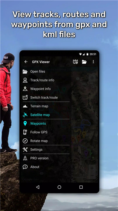
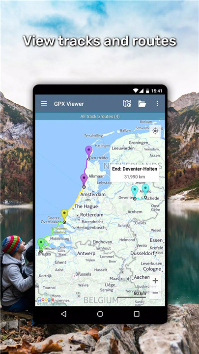
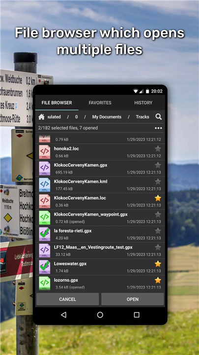
GPX Viewer allows you to open and view a variety of GPS data files including .gpx, .kml, .kmz, and .loc. With a built-in file browser, users can easily access multiple files, set favorites, and revisit recent data through the file history feature. You can also compress your files—.gpx to .gpz and .kml to .kmz—for convenient storage and sharing.
Advanced Trip Statistics & Analysis
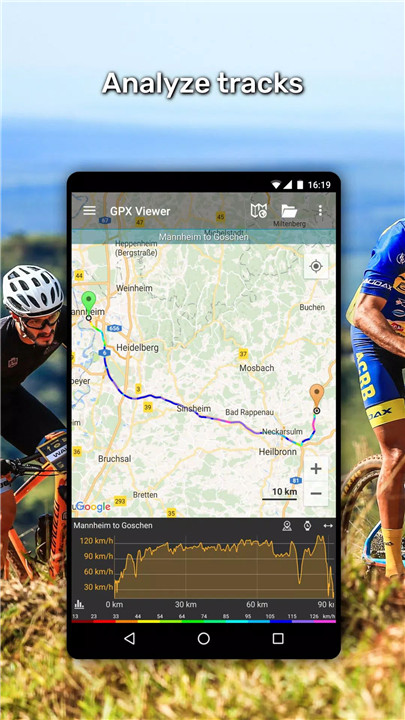
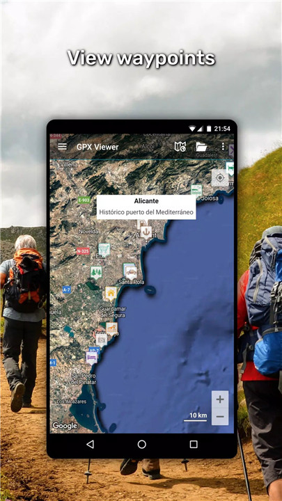
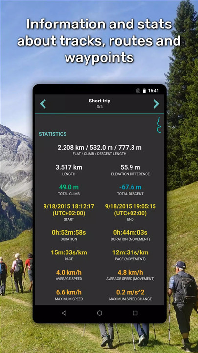
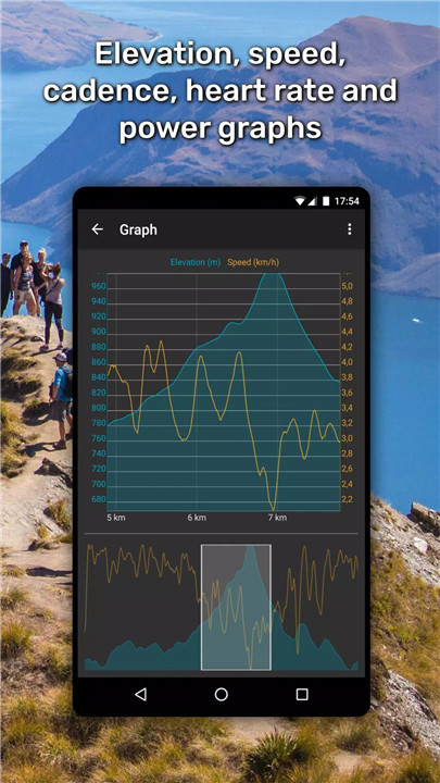
Gain valuable insights from your tracks and routes with detailed statistics and graphs. The app offers visualizations like elevation profiles, speed graphs, and even cadence, heart rate, power, and air temperature data. Customize waypoint icons and colorize tracks by variables such as speed or elevation for better route comparison and planning.
Online & Offline Maps
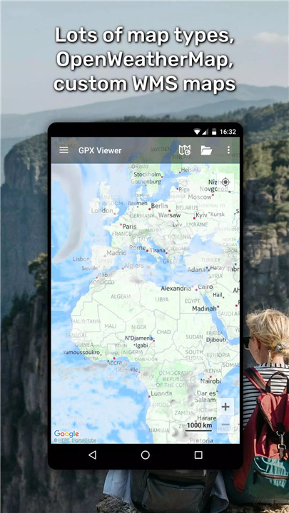
Navigate using a wide range of online maps including Google Maps, Mapbox, HERE, and Thunderforest, all integrated with OpenStreetMap data. You can also add your own custom TMS or WMS maps, and visualize live weather data using OpenWeatherMap overlays (available via in-app purchase).
Simple Navigation Features
Turn your device into a basic yet effective navigation tool. Track your real-time GPS position, rotate maps based on movement or orientation, and set waypoint proximity alerts. Whether hiking, biking, or geocaching, GPX Viewer helps keep users on the right path.
Trackbook Integration
Easily sync your data with Trackbook (https://trackbook.com), allowing seamless storage and retrieval of your recorded tracks and waypoints. This feature ensures that all your trip data is backed up and accessible across devices.
FAQs
1. What file types does GPX Viewer support?
GPX Viewer supports .gpx, .kml, .kmz, and .loc file formats. It can also open compressed .gpz and .kmz files.
2. Can GPX Viewer be used offline?
Yes, the app allows offline viewing of vector maps and saved GPS data, making it ideal for remote outdoor use.
3. How can I analyze my track data?
The app provides detailed charts and statistics, including elevation, speed, cadence, power, heart rate, and temperature, for all supported files.
4. Are there navigation features in GPX Viewer?
Yes, GPX Viewer includes simple navigation tools such as GPS position tracking, map rotation, and waypoint notifications.
5. Is GPX Viewer customizable?
Absolutely. Nearly every aspect of the app—from map settings to visual styles and data overlays—can be tailored to suit individual preferences.
Version History
v1.46.1—26 Apr, 2024
• Updated multiple translations
• Updated 3rd party libraries
• Bug fixes
v1.46—14 Apr, 2024
• Added dialog for choosing to open files using Android file browser or advanced file browser
• Added option to sign up to Trackbook newsletter when creating account on Trackbook
• Removed MapTiler premium online maps
• Enlarge 2 times waypoint icons which size is smaller than 32x32 pixels
• Updated multiple translations
• Updated 3rd party libraries
• Fixed bug that app could open any file type
v1.45.7—21 Feb, 2024
• Bug fixes



Ratings and reviews
There are no reviews yet. Be the first one to write one.