
GPS Fields Area Measure Tool APK
5.2
GPS Fields Area Measure Tool
GPS Fields Area Measure Tool APK
Download for Android
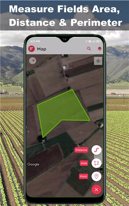
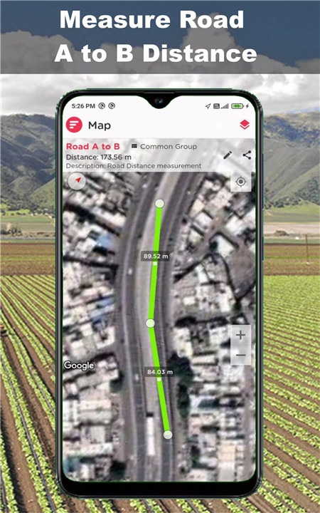
Looking for a reliable tool to measure land, plot sizes, or road distances? The GPS Field Area Measurement Tool is your go-to solution! Use satellite maps or walk the property lines—whichever works best for your needs.
With user-friendly features and high GPS precision, this free tool transforms your smartphone into a powerful land measurement device. From farmland to construction sites, this app supports all your outdoor planning and mapping activities.
Why This App Stands Out
- Easy to use for professionals and beginners
- High GPS accuracy for real-world applications
- Measure by walking boundaries or manually placing pins
- Ideal for farming, fencing, land surveying, road works, and more
Accurate Area, Distance & Perimeter Calculation
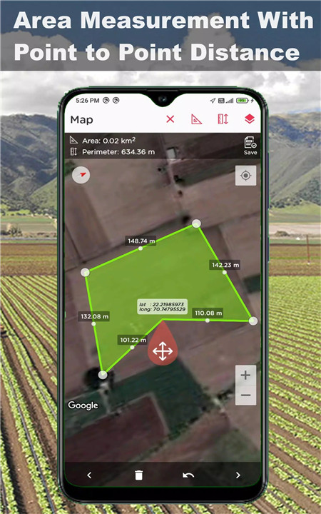
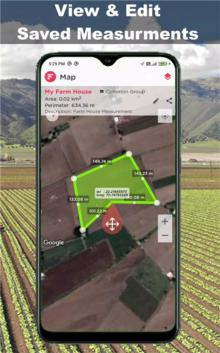
Measure land size or distances directly on the map. The app provides real-time calculations for accurate land analysis and planning.
Two Flexible Modes: Manual & Walk
· Manual Pin Mode: Tap points on the map for remote measuring.
· Walk Mode: Walk around the land using GPS to trace exact boundaries.
Smart GPS Tracking & Marker Control
- Enjoy pinpoint location tracking. You can even manually adjust marker points to improve measurement accuracy.
- Exportable Results
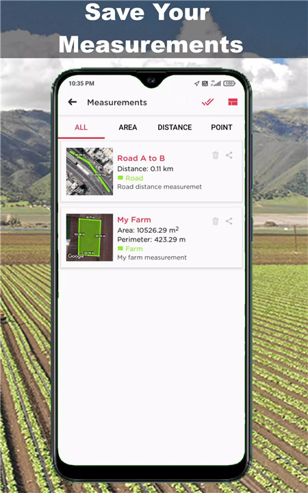
- Export your measured data in PDF, image, or KML formats for easy sharing with teams, clients, or record-keeping.
- Editable & Savable Sessions
Multiple Map Views
Switch between Satellite, Terrain, and Hybrid views to suit your environment or preferences.
Multi-language Support
Available in 11+ languages, including English, Hindi, Arabic, Portuguese, and more—designed for global users.
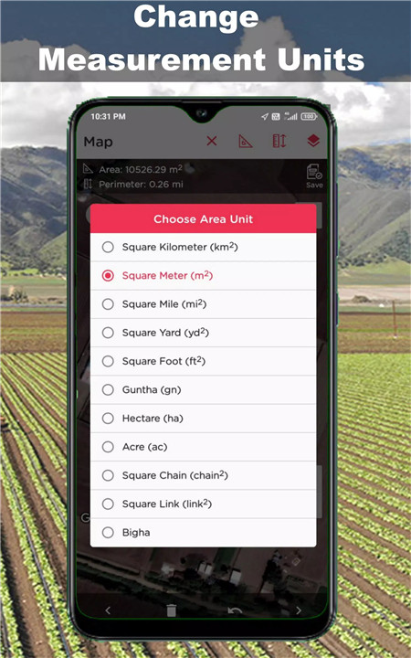
Supports All Major Measurement Units
Whether you're measuring in acres, hectares, meters, feet, yards, or square kilometers, the app has you covered.
Who Is This App For?
Farmers – Measure fields, plots, and fencing accurately
Construction Professionals – Plan layouts, building sites, and project zones
Surveyors – Take precise land measurements for property assessments
Real Estate Agents – Analyze property size for clients and buyers
Civil Engineers – Measure roads and infrastructure distances
Government Bodies – Map areas for sports fields, schools, and health centers
How It Works
1. Select Manual Mode or Walk Mode
2. Place pins or walk around the area’s boundary
3. Instantly view the calculated area, perimeter, and distance
4. Save, share, or export your results as needed
FAQs
1. How accurate is this GPS field measurement app?
The app uses advanced GPS tracking to offer highly accurate measurements suitable for both personal and professional use.
2. Can I measure land remotely without visiting the site?
Yes, with Manual Mode, you can place pins on the satellite map to measure any land remotely.
3. Which file formats can I export my results in?
You can export your measurements as PDF, image, or KML files for easy sharing and documentation.
4. What units of measurement are supported?
The app supports all major units like acre, hectare, meter, feet, yard, and square kilometer.
5. Is the app free to use?
Yes, the Accurate GPS Field Area Measurement App is completely free and easy to use for everyone.
Version History
v5.2—4 Jul, 2024
Bug Fixes
Performance improvement
Multiple lines appear on measurements issue resolved
v5.1—9 Mar, 2024
Bug Fixes
Performance improvement
v4.9—14 Jan, 2024
Bug Fixes
Measurement Results not showing issue solved


Ratings and reviews
There are no reviews yet. Be the first one to write one.