
Mergin Maps: QGIS in pocket APK
2024.3.0
Mergin Maps: QGIS in pocket
Mergin Maps: QGIS in pocket APK
Download for Android
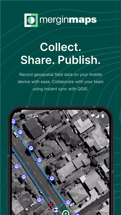
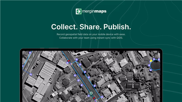
Mergin Maps is a powerful, open-source field data collection tool built on QGIS—designed for surveyors, environmental scientists, engineers, and GIS professionals.
Seamless Operation
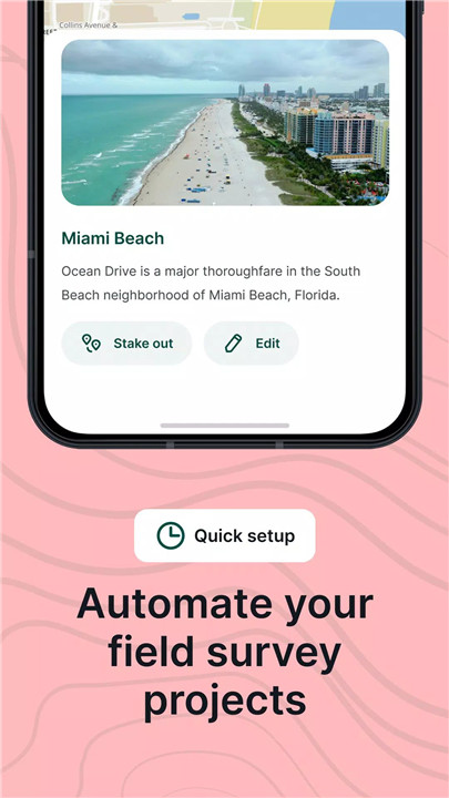
Setting up your project is quick: create your survey in QGIS, connect it using the Mergin Maps plugin, and sync it to your mobile device. You're then ready to collect data on points, lines, and polygons, complete forms, and track your live location in the field.
Easy QGIS Integration
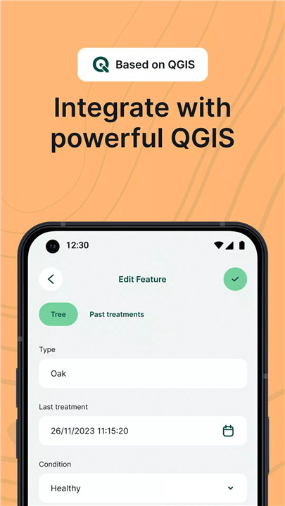
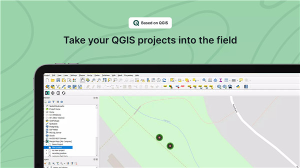
Mergin Maps lets you transfer your QGIS projects to your mobile device with just a few steps. Your layers, symbology, and forms remain intact, so you see your map exactly as it appears on your desktop.
Offline Field Data Collection
No internet? No problem. Mergin Maps supports offline data capture and offline basemaps, ensuring you can still work in remote areas without a network connection.
Real-Time Sync and Collaboration
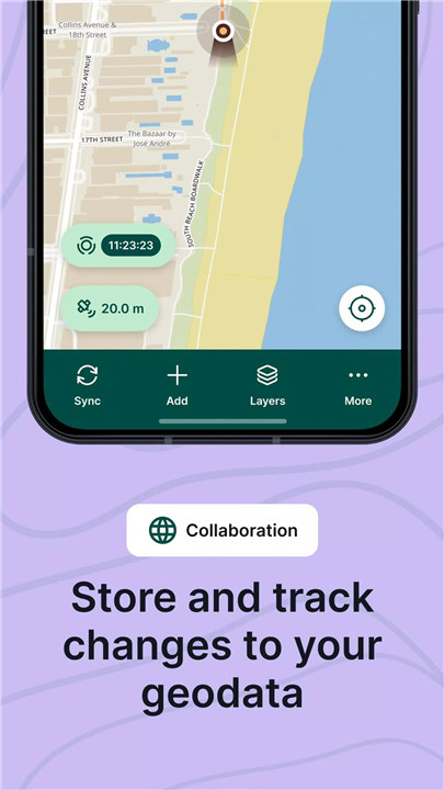
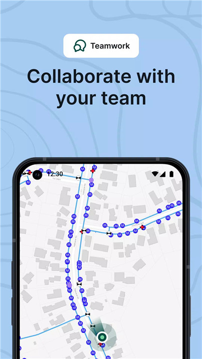
Push data back to the server as it’s collected or sync later when you're online. Multiple surveyors can collaborate on the same project, and updates are merged intelligently with version control and cloud-based backup.
Advanced Survey Capabilities
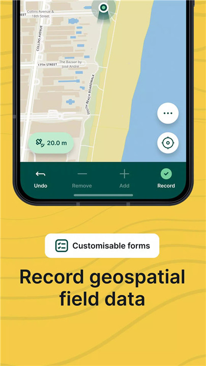
Capture data using customizable form fields including text, numbers, checkboxes, date/time pickers, dropdowns, and even photos. Mergin Maps also records metadata like EXIF and GPS details for precise documentation.
High-Precision GPS Support
Need accurate positioning? Connect an external GPS/GNSS device via Bluetooth and enhance your data quality for professional-grade surveys.
Export to Multiple Formats
Data can be exported to CSV, Excel, Shapefile, GeoPackage, KML, PostGIS, AutoCAD DXF, and more—making it simple to integrate into your existing workflows.
FAQs
1. Do I need internet to use Mergin Maps in the field?
No, Mergin Maps supports full offline functionality. You can collect data without internet and sync it once you're back online.
2. How do I transfer my QGIS project to Mergin Maps?
Use the Mergin Maps plugin in QGIS to sync your project. It takes just a few minutes to set up and push to the mobile app.
3. Can I connect an external GPS device for better accuracy?
Yes, Mergin Maps supports Bluetooth-connected GPS/GNSS devices for high-precision data collection.
4. What file formats can I export my data to?
You can export data to CSV, Excel, Shapefile, GeoPackage, KML, DXF, PostGIS, and more.
5. Is it possible to collaborate with a team on the same project?
Absolutely! Mergin Maps allows for real-time sync, version control, and smart merging of updates from multiple users—even offline.
Version History
v2024.3.0—13 Jul, 2024
Added Android fused location provider
Added support for multiple lines in map tip for images
Reintroduction of centring to GPS when starting to record new feature
Improvements to position tracking notification on Android
Fixing section headers' wrapping and eliding
Fixing app freeze when switching pages
Fixing picture zoom in MMPhotoPreview
Fixing app freeze in MMFormPage
Fixing "Unique" and "Enforce Unique constraint" error message
Fixing photo name expression when it starts with slash
v2024.2.0—4 Jun, 2024
- Disable QtNativeAccessibility to fix ANRs
- Added zstd format support
- Fix not null value relation
- Added support for opening PDF files in forms
- Fix override of relations editor bug
- Fix of phantom projects
- Error/warning message can have up to 10 lines
- Fix missing photo can be removed
- Open sync failed dialogue when notification is clicked
- Custom server UX enhancement
- Fix ANR when opening project with search bar focus
- Enable predictive text on Android
v2024.1.1—17 May, 2024
- Reintroduced behavior for calendar widget to populate the current date and time when clicked on the calendar icon
- Disabled dragging drawers with lists
- Fixed project opening after sync
- Fixed ANR (freeze) when scrolling in forms and other lists
- Fixed drawer close buttons being rendered in the safe area
- Added error message when photo is missing in form
- Added translations for ET and DE
- Added workspace and hardware info to the diagnostic log





Ratings and reviews
There are no reviews yet. Be the first one to write one.