Discover the ideal partner for your upcoming outdoor excursion with Handy GPS. Effortlessly seek, find, document, and navigate your way home—all without the need for user accounts or complex setups. Just install the app, activate your GPS, and embark on your adventure!
This robust navigation tool is tailored for outdoor activities such as hiking, bushwalking, mountain biking, kayaking, horseback riding, and geocaching.
It’s also beneficial for surveying, mining, archaeology, and forestry work. Handy GPS is user-friendly and functions seamlessly in even the most remote locations, requiring no internet connectivity.
You can work with UTM or latitude/longitude coordinates, making it compatible with traditional topographic maps.
NOTE:
• This is a free trial version, allowing for the storage of up to 3 waypoints and 40 track log points.
• Feel free to use the trial as long as you wish; however, if you enjoy the app, consider upgrading to the paid version of “Handy GPS” for unlimited access and a wealth of additional features.
To ensure reliable track logging, please enable continuous GPS use for the app and deactivate battery optimization when the phone screen is off.
KEY FEATURES:
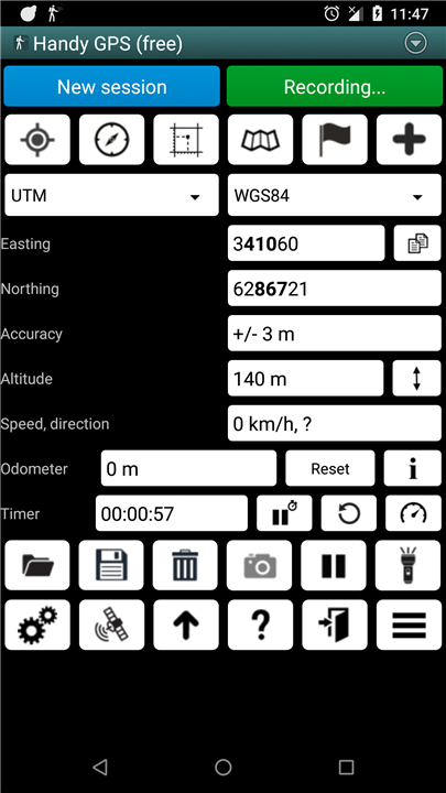
• Displays current coordinates, altitude, speed, travel direction, and total distance traveled in metric, imperial/US, or nautical units.
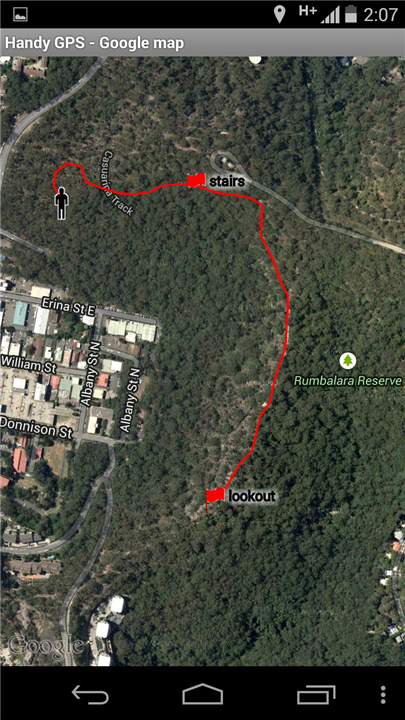
• Save your location as a waypoint and create a track log to visualize your journey on a map.
• Import and export data using KML and GPX files.
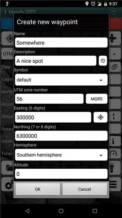
• Manually enter waypoints in UTM, MGRS, and latitude/longitude formats.
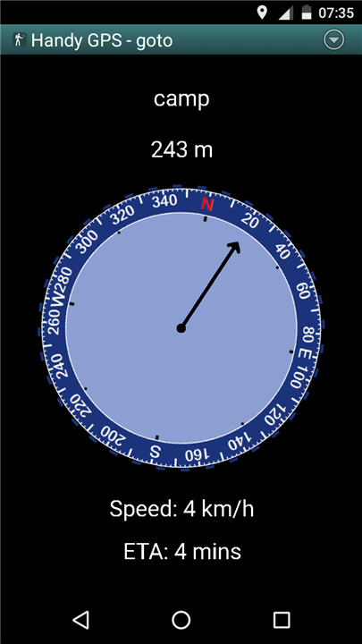
• Navigate to waypoints with the “Goto” feature and receive notifications as you approach.
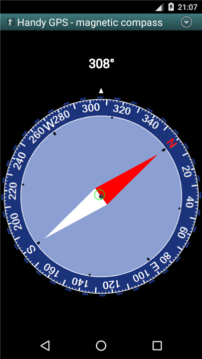
• Includes a compass feature compatible with devices equipped with magnetic field sensors.
• Automatically calculates the local geoid offset for enhanced altitude accuracy.
• Supports the global WGS84 datum as well as standard Australian datums and map grids (WGS84 can be used for NAD83 maps in the US).
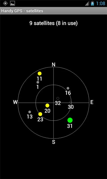
• Provides graphical display of GPS satellite locations and signal strengths.
• Allows simple or MGRS grid references.
• Calculates distance and direction between waypoints.
• Optional timer for tracking walk duration and average speed.
• Thoroughly validated by the developer during numerous off-trail excursions.
ADDITIONAL FEATURES IN THE PAID VERSION:
• Ad-free experience.
• Unlimited waypoints and track log points.
• Access to offline maps.
• Custom datum settings.
• Elevation profiles.
• Capture photos and record voice memos within the app.
• Easily share your location via email or SMS.
• Offers UK grid references.
• GPS averaging for improved location precision.
• Provides sunrise and sunset times.
• Export waypoints and track logs to CSV format.
• Ability to project waypoints based on bearing and distance.
• Calculate length, area, and elevation changes from track logs.
• Estimate calorie expenditure.
PERMISSIONS:
(1) GPS for location tracking,
(2) Network access for standard map layers and OSM tiles,
(3) SD card access for waypoint and track log management,
(4) Camera access for capturing images*,
(5) Prevent phone sleep mode for active proximity alerts,
(6) Control flashlight via the app,
(7) Record audio for voice memos*.
(*Feature available in the full version only).
DISCLAIMER:
• Use this app at your own risk.
• The developer is not liable for any incidents of getting lost or injured while using it.
• Mobile device batteries can drain, so for long and remote hikes, it is advisable to carry a battery bank and an alternative navigation method like a paper map and compass for safety.
FAQ
Q: Do I need an internet connection to use Handy GPS?
A: No, Handy GPS functions seamlessly in remote areas without any internet connectivity. It relies on GPS for location tracking.
Q: How do I get started with the Handy GPS app?
A: To start using Handy GPS, simply install the app on your device, activate your GPS, and you're ready to embark on your adventure. No user accounts or complicated setups are required.
Q: Is Handy GPS free to use?
A: Yes, Handy GPS offers a free trial version that allows users to store up to 3 waypoints and 40 track log points. You can use the trial version as long as you wish, but if you enjoy it, consider upgrading to the paid version for unlimited access and additional features.
Version History
v42.8——26 May 2025
A hiking GPS for the real world (lite version). No signup required. Download the latest version of Handy GPS lite to enjoy new features and updates immediately!
*42.8
Added a layer control to the map page.
*42.7
Added the ability to import waypoints from Lat/Lon CSV files via file association with the app.
*42.6
Updated Google Ads library.


Ratings and reviews
There are no reviews yet. Be the first one to write one.