
TouchTrails: Route Planner APK
2.12.0
TouchTrails: Route Planner
TouchTrails: Route Planner APK
Download for Android
TouchTrails is a powerful yet user-friendly route planning and GPS navigation app designed for outdoor enthusiasts. Whether you're preparing for a biking adventure, a multi-day hiking trip, or simply a weekend run, TouchTrails gives you the tools you need to plan your journey. You can easily trace routes with your finger, measure distances, analyze elevation profiles, and get turn-by-turn voice navigation along the way. TouchTrails is the perfect companion for your next outdoor adventure!
Plan and Customize Routes
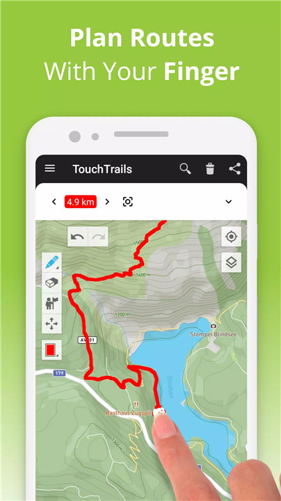
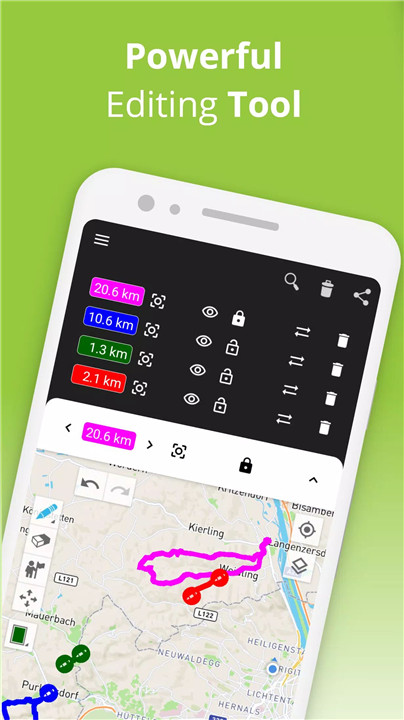
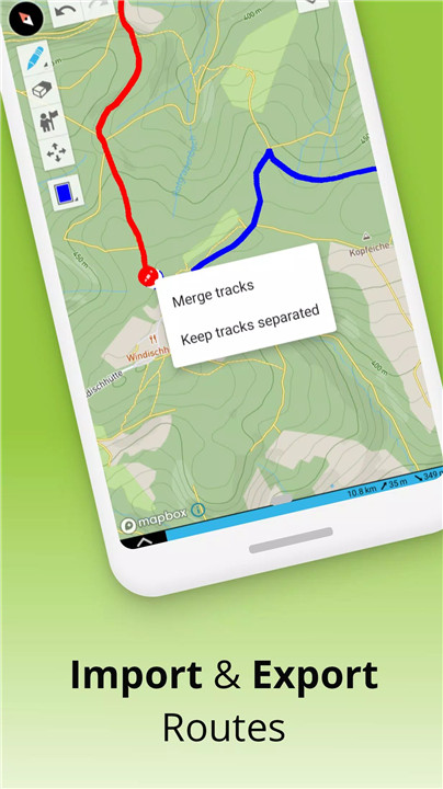
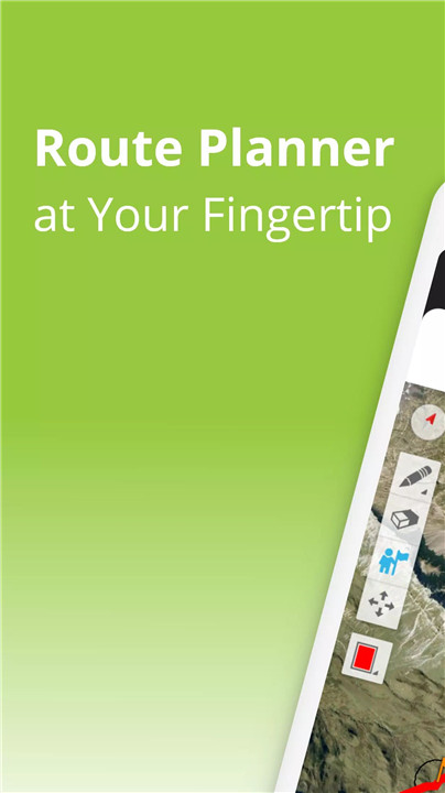
TouchTrails allows you to plan your routes with ease. Simply trace your desired path on the map using your finger. The app provides flexibility to draw routes on roads or off-road, with an option to snap to the road for added accuracy. You can split, erase, or connect routes to customize your adventure to fit your exact needs.
Measure Distance and Elevation
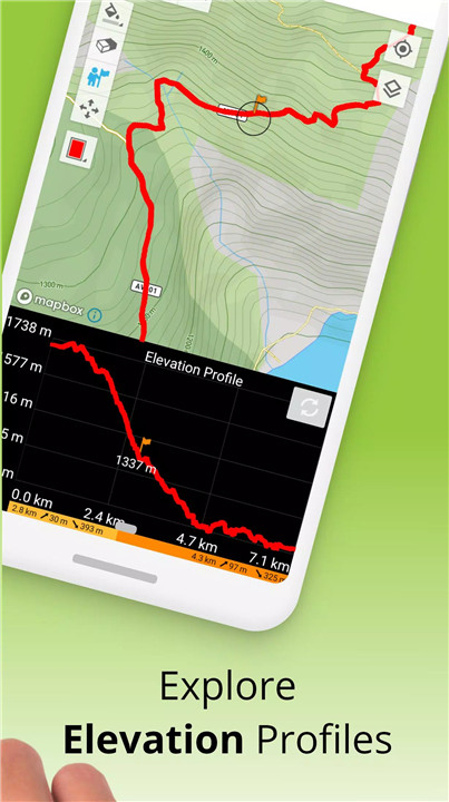
Get accurate distance measurements and detailed elevation profiles for each route. Understanding the distance you’ll cover and how much elevation gain you’ll face is essential for planning outdoor adventures like hiking, biking, or running. With TouchTrails, you can easily visualize the difficulty of your route with elevation profiles.
Add and Edit Waypoints
Enhance your routes with waypoints that mark important locations or points of interest along the way. With an extensive library of waypoint icons, you can fully customize your maps with highlights, tips, or any landmarks you'd like to remember or share.
GPS Tracker
Record your outdoor adventures with the built-in GPS tracker. Whether you're hiking through rugged terrain or cycling a scenic route, the app helps you save, edit, and share your journeys. Capture every moment of your adventure and relive it later or share it with friends.
GPX Viewer
If you discover a perfect trail online, simply import a GPX file into TouchTrails. The app allows you to navigate along these routes, measure distances, and analyze the elevation profiles of trails created by others. You can even edit the imported GPX files to make them your own.
Multiple Routes on One Map
TouchTrails makes it easy to view and compare multiple routes on one map. You can combine routes from different sources or display several routes simultaneously for a more complete picture of your adventure options.
Share Routes
Once you've planned your route, you can easily share it with friends and fellow adventurers. Whether you're part of a group hike or planning a cycling trip with others, sharing your routes helps everyone stay on track.
TouchTrails Premium Features
Upgrade to TouchTrails Premium for additional powerful features:
· Snap to Road: Instantly lock your route to roads, bike paths, or hiking trails.
· Turn-by-Turn Navigation: Get real-time audio directions and warnings if you stray off your path.
· Waypoint Customization: Access 100+ symbols to personalize your map.
· Unlimited Routes: Save and plan as many routes as you need.
· Export GPX Files: Save and export your routes in GPX format.
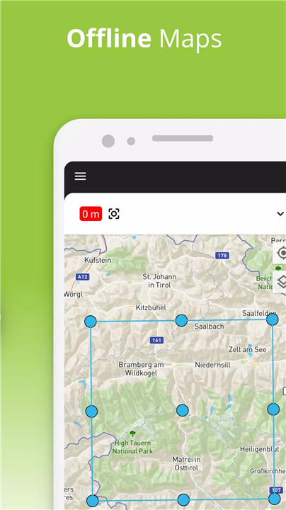
· Offline Maps: Use TouchTrails even without an internet connection for more flexibility on remote trails.
FAQs
1. How can I plan routes with TouchTrails?
You can simply trace your route on the map with your finger. You can also snap routes to roads, split, erase, or connect parts to customize your adventure.
2. Does TouchTrails support offline maps?
Yes, with TouchTrails Premium, you can download maps and use them offline, ensuring you have access to your routes even in areas with no internet connection.
3. Can I use TouchTrails for cycling and mountain biking?
Absolutely! TouchTrails is perfect for cycling, mountain biking, and a wide variety of other outdoor activities, with specific features to help plan and track cycling routes.
4. Can I add points of interest to my routes?
Yes, you can add and customize waypoints on your map, using a library of icons to mark points of interest, tips, or landmarks.
5. Is there a way to get turn-by-turn navigation in TouchTrails?
Yes, with TouchTrails Premium, you get turn-by-turn voice navigation to guide you along your route and warnings if you go off track.
Version History
v2.12.0—29 May, 2024
• Labeling of routes
• Waypoints
• GPS tracker - record your routes
v2.11.2—13 May, 2024
• Waypoints
• GPS tracker - record your routes
v2.11.1—24 Oct, 2023
• Waypoints
• GPS tracker - record your routes





Ratings and reviews
There are no reviews yet. Be the first one to write one.