QField for QGIS
Professional GIS Data Collection, Simplified
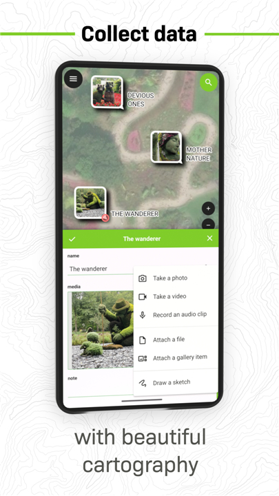
• QField is a powerful mobile companion to QGIS, designed to make professional field data collection faster and more intuitive.
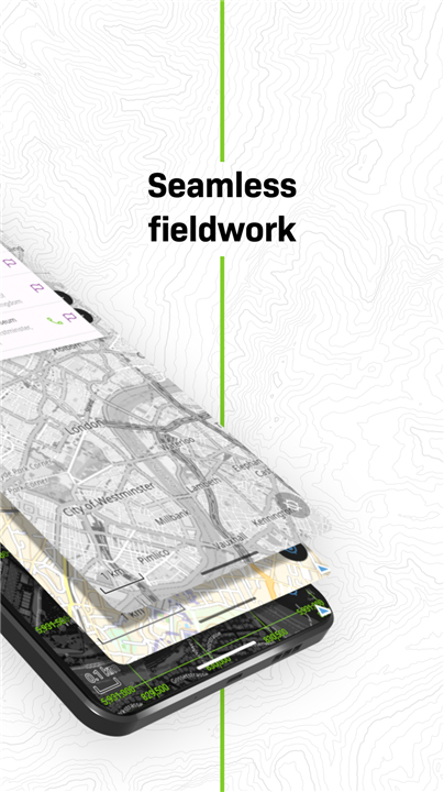
• It brings your fully configured QGIS projects directly to your mobile device, allowing you to work both online and entirely offline—no compromises, no limits.
Seamless Cloud and Offline Collaboration
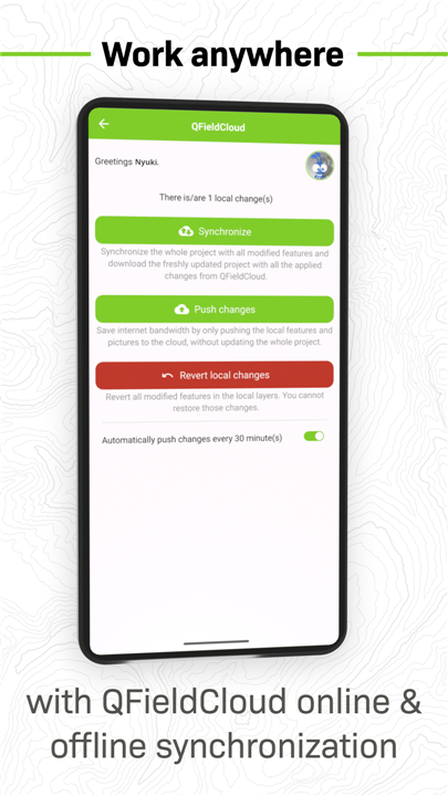
Stay connected wherever your work takes you. QFieldCloud synchronizes your field data and office projects in real time, ensuring your team always works with the latest information.
• Automatic syncing when you reconnect after working offline
• Real-time collaboration between remote teams
• Freedom to transfer data manually if preferred—via USB, email, downloads, or SD card
Precision Mapping and GNSS Integration
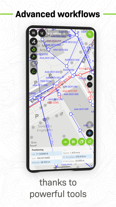
Achieve outstanding accuracy with QField’s built-in GPS capabilities or connect external GNSS receivers for high-precision positioning.
• Works with internal device GPS or external GNSS hardware
• Supports Bluetooth, TCP, UDP, and mock location setups
• Records altitude, accuracy, and direction for every data point
Essential Features for Field Professionals
QField offers the same flexibility and depth as QGIS, fine-tuned for mobile use.
• Opens .qgs, .qgz, and embedded QGIS projects
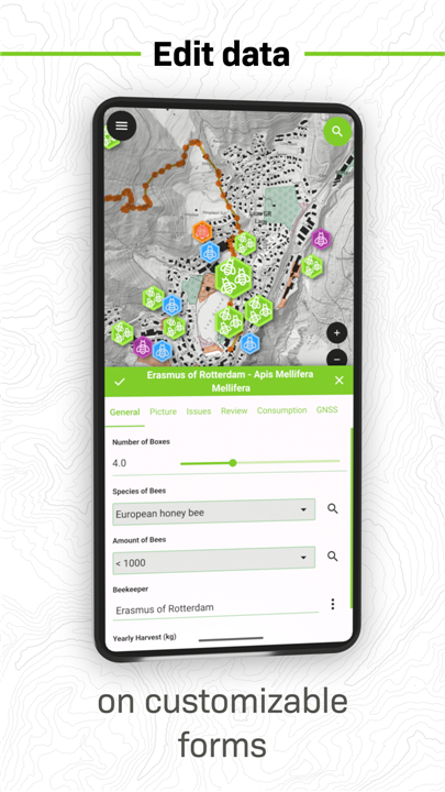
• Uses customized forms, map themes, and print layouts
• Enables offline editing and updates anywhere
• Optional synchronization through QFieldCloud
Supported Data Formats
Handle a wide range of spatial data formats with ease.
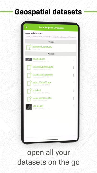
• Vector: GeoPackage, SpatiaLite, GeoJSON, KML, GPX, Shapefiles
• Raster: GeoTIFF, Geospatial PDF, WEBP, JPEG2000
Customization and Support
Have a specific workflow or feature in mind? The QField team welcomes collaboration and customization requests.
• Contact: https://www.opengis.ch/contact/
Permissions and Privacy
• QField may request access to your device’s location to display your position and capture spatial data.
• External GNSS receivers are fully supported for professional, high-precision requirements.
Help and Feedback
If you encounter issues or want to suggest new features, the QField community is ready to help.
• Report or request at: https://qfield.org/issues
QField combines the strength of QGIS with the freedom of mobility—empowering you to collect, edit, and manage spatial data anywhere your work leads.
FAQ
Q: How does QField integrate with QGIS?
A: QField directly reads QGIS project files such as .qgs and .qgz, retaining your custom forms, layers, styles, map themes, and print layouts. You can prepare your project in QGIS on your desktop, transfer it to your device, and start collecting or editing data immediately without any reconfiguration.
Q: Can I use QField without an internet connection?
A: Yes, QField is built to support fully offline workflows. You can load your entire project and base maps onto your device, collect data in the field without network coverage, and automatically sync it later when you reconnect. It’s perfect for remote locations.
Q: What is QFieldCloud and how does it help my workflow?
A: QFieldCloud is the cloud-based service that enhances collaboration between field and office teams. It synchronizes your projects, edits, and collected data in real time, ensuring everyone is working with the latest information. It eliminates manual transfers and version mismatches, though you can still choose to sync your data manually if you prefer.
Version History
v3.7.8 - Haida Gwaii——6 Oct 2025
Survey and digitize data in the field with seamless synchronization Download the latest version of QField for QGIS to enjoy new features and updates immediately!
*3.7.8 - Haida Gwaii
Find out what's new on https://github.com/opengisch/QField/releases/tag/v3.7.8
*3.7.7 - Haida Gwaii
Find out what's new on https://github.com/opengisch/QField/releases/tag/v3.7.7
*3.7.6 - Haida Gwaii
Find out what's new on https://github.com/opengisch/QField/releases/tag/v3.7.6






Ratings and reviews
There are no reviews yet. Be the first one to write one.