
InfoPlot - plot boundaries APK
2.1.43
InfoPlot - plot boundaries
InfoPlot - plot boundaries APK
Download for Android
InfoDziałka – Your Trusted Tool for Plot Analysis in Poland
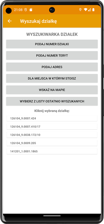
InfoDziałka is a cutting-edge mobile application tailored for individuals seeking accurate information about land plots in Poland.
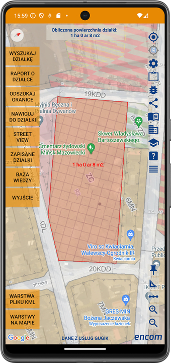
With our app, you can swiftly and easily access crucial details on the plots that pique your interest, including their boundaries, area, land usage, and any planned developments in the vicinity.
InfoDziałka is perfect for investors, prospective land buyers, real estate professionals, and anyone needing precise plot data.
Key Features of InfoDziałka:
• Comprehensive Plot Data:
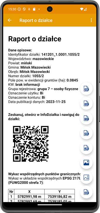
- Access information regarding plot boundaries, area, cadastral number, and land use.
- You can gain a thorough understanding of any plot you wish to buy or lease and even download reports in PDF format.
• View Spatial Development Plans:
- Explore the existing spatial development plans in your area and anticipated changes.
- This insight will help you understand future developments that could influence plot value.
• Maps and Geodetic Data Access:
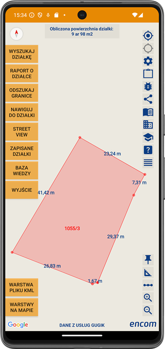
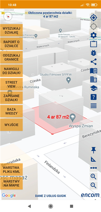
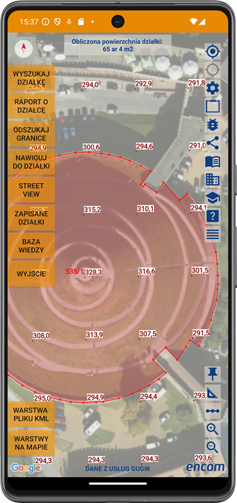
- Familiarize yourself with geodetic maps that clearly delineate plot boundaries and land use.
- The application allows you to download maps in DXF, KML, JGP, and TIFF formats, making precise geodetic data an invaluable asset for real estate analysis.
• Insight on Planned Investments:
- Stay informed about upcoming investments, such as roads and construction projects, in your area.
- This can substantially aid in making strategic investment decisions, as infrastructure improvements often affect land value.
• Geolocation Feature:
- Locate plots in your vicinity using the app's geolocation function, which automatically displays the nearest plots, saving you time in your search.
• Boundary Identification:
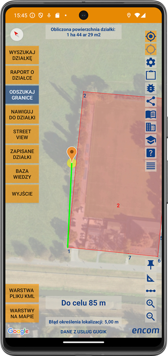
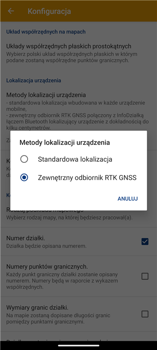
- Utilize the built-in location module or an external RTK GNSS E1 measurement set to accurately find plot boundaries.
• Data Collection and Management:
- Save information, photos, and contacts related to plots directly within the app for easy management and retrieval.
Why Choose InfoDziałka?
• Quick and Convenient Information Access:
- Say goodbye to the hassle of searching for information in offices or dealing with intermediaries; all the data you need is conveniently available at your fingertips.
• Informed Investment Decisions:
- With detailed and accurate information on plots and spatial development plans, you can make investment decisions that are informed and confident.
• Reliable and Safe Data:
- InfoDziałka offers access to reliable, regularly updated geodetic data, ensuring you're making responsible land transactions.
Who Can Benefit from InfoDziałka?
• Investors:
- Gain comprehensive control over plot information in Poland to make informed investment choices.
• Land Seekers:
- Ideal for those planning to purchase land for residential, business, or agricultural purposes.
• Real Estate Agents:
- Enhance your advisory capabilities with precise plot data to serve your clients better.
• Farmers:
- Especially useful with the RTK GNSS E1 measuring set for confirming plot boundaries before agricultural activities.
• Construction Contractors:
- The app is invaluable for verifying plot boundaries and land development during construction projects.
Download InfoDziałka Now!
FAQ
Q: Who can benefit from using InfoDziałka?
A: InfoDziałka is ideal for investors, prospective land buyers, real estate agents, farmers, construction contractors, and anyone needing precise geodetic or plot data in Poland.
Q: What kind of information can I access about a plot using InfoDziałka?
A: You can access comprehensive plot details including boundaries, area, cadastral number, land use classification, spatial development plans, upcoming investments, and download related reports and maps in various formats.
Q: Does InfoDziałka provide maps? If yes, in what formats can I download them?
A: Yes, InfoDziałka offers access to geodetic maps that delineate plot boundaries and land usage. Maps can be downloaded in DXF, KML, JPG, and TIFF formats for ease of use in different applications.
Version History
v2.1.43——12 Jun 2025
An innovative application for managing information about plots in Poland. Download the latest version of InfoPlot - plot boundaries to enjoy new features and updates immediately!
*2.1.43
Poprawki.
*2.1.42
Downloading geodetic control network data with navigation to a point.
*2.1.41
A soil and vegetation map layer was introduced.





Ratings and reviews
There are no reviews yet. Be the first one to write one.