DONIA – Sail, Explore and Protect the Sea Together
Your guide to the Mediterranean’s secrets — and its protection.
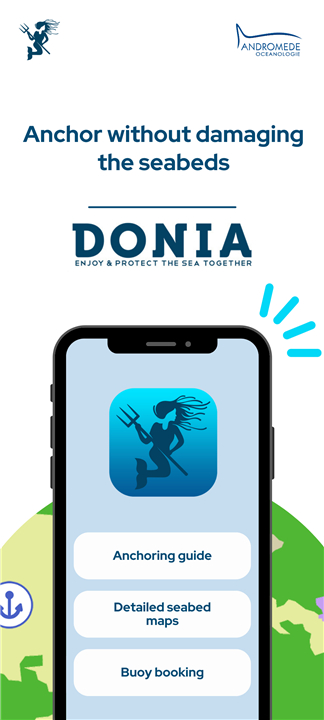
• DONIA is more than an app; it’s a community of ocean lovers working to safeguard the marine environment while making navigation simpler, safer, and more rewarding.
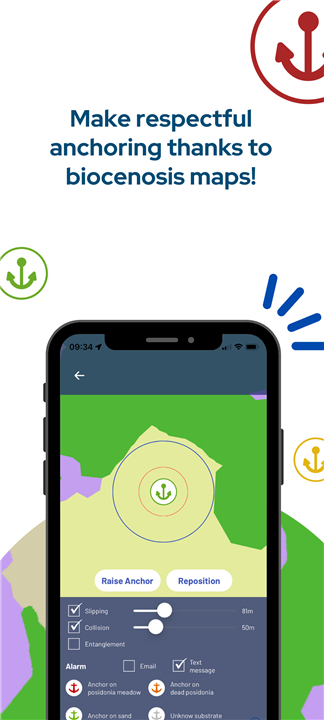
• With over 50,000 users, DONIA helps preserve fragile seabeds such as Posidonia meadows and coralligenous reefs by showing exactly where to anchor without harm.
Navigate with Precision
Carry the Mediterranean in your pocket:
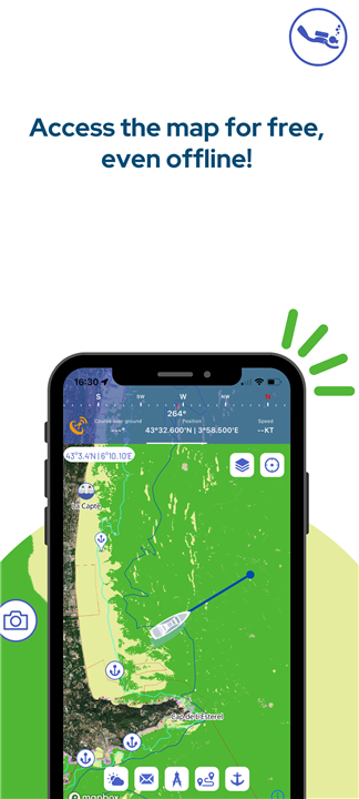
• Detailed seabed mapping (sand, seagrass, coral, rock)
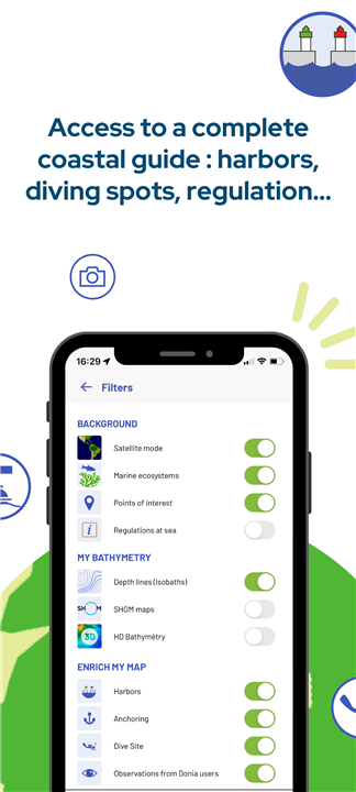
• Port and marina info, local regulations, diving sites
• Offline charts for use anywhere
• Weather forecasts, course tracking, and measurement tools
• Real-time AIS data, SOS alerts, and integrated chat
Anchor Responsibly
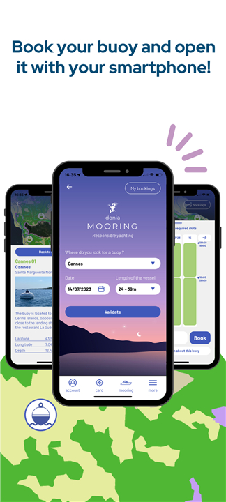
• Reserve eco-friendly mooring buoys via DONIA Mooring
• Availability calendars and secure mobile payment
• Protect ecosystems while enjoying worry-free stops
• Automated alarms for drift, collision, and rope entanglement
Share & Learn
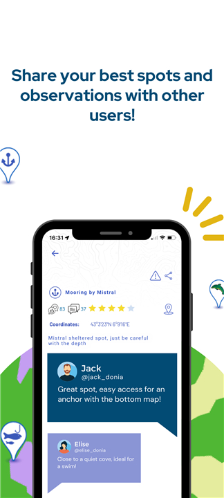
• Report anchor spots, marine wildlife sightings, and obstacles
• Benefit from collective knowledge built by passionate sailors and divers
• Since 2018, the community has saved 76 hectares of Posidonia from damage — and growing
Premium Features
For €24.99/year (€2.99/month):
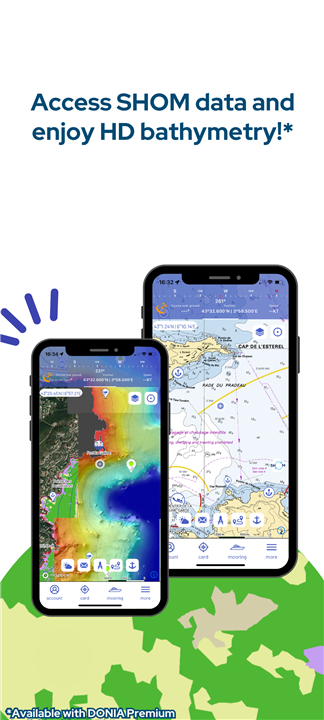
• SHOM nautical charts
• Over 230 HD bathymetric maps
• Discover new dive sites, underwater ridges, and hidden formations
Built by Ocean Experts
• Created by marine biologists and divers at Andromède Océanologie, DONIA blends scientific accuracy with sailor-to-sailor collaboration.
• Designed to evolve with its users, it’s a tool shaped by maritime solidarity and a shared respect for the sea.
Join the movement
• Website: donia.fr
• Facebook: Donia.andromede
• Instagram: donia_andromede
• LinkedIn: Donia Showcase
• Email: donia@andromede-ocean.com
Available in English, French, Spanish, and Italian for smartphones and tablets.
Continuous GPS use may reduce battery life.
FAQ
Q: How does DONIA help protect the seabed?
A: By showing exactly where it’s safe to anchor, DONIA allows sailors to avoid sensitive areas such as seagrass beds and coral reefs. Users can also reserve eco-friendly mooring buoys that prevent anchors from disturbing the seabed, helping protect marine biodiversity for future generations.
Q: Who can benefit from using DONIA?
A: Whether you’re a sailor, diver, kayaker, or simply someone who loves the sea, DONIA provides tools that make navigation easier and safer while encouraging sustainable practices. Recreational boaters, professionals, and conservation-minded travelers alike can all find value in the app.
Q: What kind of maps does DONIA offer?
A: DONIA provides detailed seabed maps showing sand, seagrass, coral, and rock formations. Premium subscribers gain access to SHOM nautical charts and over 230 HD bathymetric maps, revealing underwater ridges, dive sites, and hidden formations in remarkable detail.
Version History
v7.14——24 Nov 2025
The app for all sea lovers. Navigate, Anchor and Protect. Download the latest version of DONIA to enjoy new features and updates immediately!
*7.14
Our app now includes a new feature: Guest mode.
You can explore the app without signing up and try our services freely.
Later, create your free account to unlock advanced features and enjoy the full experience!
*7.13
Optimization
Minor bug fixes
Added FAQ page and contact page
Modified map legend
*7.12
Optimization
Minor bug fixes
Added FAQ page and contact page
Modified map legend









Ratings and reviews
There are no reviews yet. Be the first one to write one.