VicEmergency is the official emergency information app from the Victorian Government, designed to keep residents and visitors across Victoria safe and informed. This essential tool delivers timely and verified warnings about emergencies, including bushfires, floods, storms, earthquakes, and more.
Live Incident Map
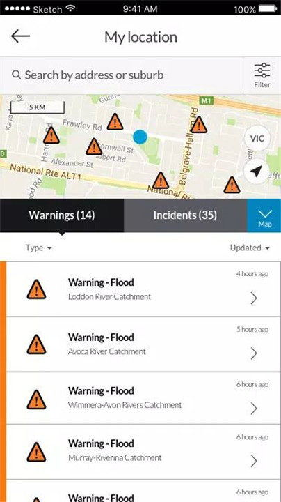
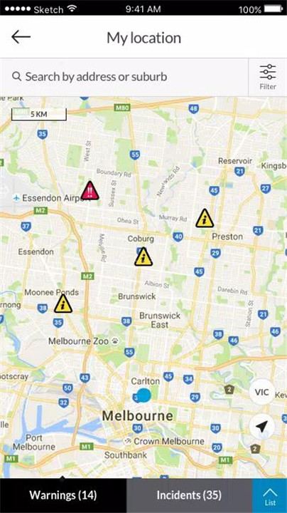
View a dynamic map showing current incidents across Victoria, including planned burns, fires, and other emergency events. Symbols on the map represent the origin of incidents, helping users understand where activity has started.
Real-Time Warnings & Notifications
Receive emergency alerts including Emergency Warnings, Watch and Act, Advice, and informational updates directly to the device. Notifications are based on official data provided by Victoria’s emergency services and are updated as situations evolve.
Personalized Watch Zones & Profiles
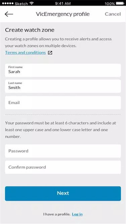
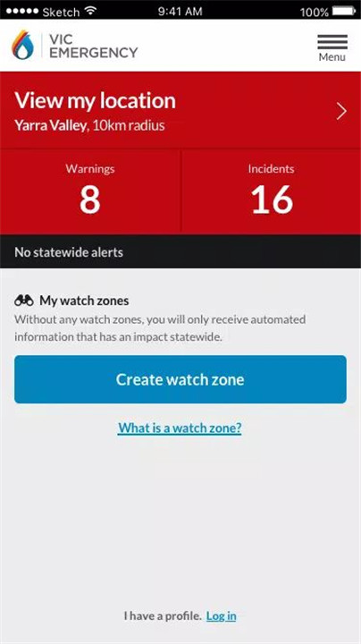
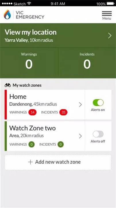
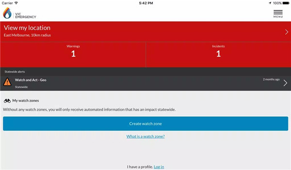
Users can set up a profile and create multiple watch zones to monitor specific areas, such as home, work, or travel destinations. These zones are linked across devices and the VicEmergency website for seamless access and consistency.
GPS-Enabled Location Services
Enable GPS functionality to view emergencies and warnings around the user’s current location. This feature allows for real-time situational awareness, especially when travelling.
Custom Alerts & Notifications
Stay in control by customizing alert tones and notification preferences. Users can opt to receive warnings by email and tailor the notification types according to their needs.
Cross-Device Synchronization
Watch zones and user profiles are synced across mobile devices and the VicEmergency website, offering consistent updates wherever users access their account.
Fire Danger Ratings & Total Fire Ban Info
View daily fire danger ratings and Total Fire Ban status directly on the map to help make informed decisions during high-risk periods.
Share Warnings Easily
Share critical warnings and incidents with friends and family via messaging or social media to help others stay informed.
FAQs
1. Where does the information in the app come from?
Information is sourced directly from Victoria’s emergency services. Initial alerts may be triggered by Triple Zero (000) calls and updated as emergency crews arrive on the scene and assess the situation.
2. Will a warning be issued for every incident?
No, warnings are only issued if there is a confirmed threat to the community. If emergency services determine there is no risk, a formal warning will not be published.
3. How accurate are the incident locations on the map?
The symbols shown on the map represent the origin of the emergency, which may not reflect the current spread or exact position of the incident, especially in its early stages.
4. Can multiple watch zones be created?
Yes, users can create and edit multiple watch zones, which sync across all devices linked to the same profile, allowing for consistent tracking of areas that matter.
5. Why does the app request location access?
Location access enables users to see incidents around them and receive alerts for nearby emergencies. This feature must be enabled in device settings for full functionality.
Version History
v6.5.0—31 Oct, 2023
Minor enhancements and bug fix(s).
v6.4.0—6 Sep, 2022
- Adopted the Australian Fire Danger Rating System which standardises our use of fire danger ratings nationally.
- Updated our base map to the latest Spatial Vision VicMap Book
- Improved compatibility with the latest devices
v6.3.1—31 Dec, 2021
- The icons shown on VicEmergency have changed as part of a national initiative to have all states and territories displaying incidents and warnings in the same way.
- Updated our base map to the latest Spatial Vision VicMap Book
- Improved compatibility with the latest devices





Ratings and reviews
There are no reviews yet. Be the first one to write one.