Bogotá Bici Maps: Your Ultimate Cycling Companion
Bogotá Bici Maps is a specialized mobile application designed to enhance the cycling experience in Bogotá, Colombia.
Catering to both daily commuters and recreational cyclists, the app integrates navigation, safety features, and real-time data to provide a seamless biking experience.
Below is an expanded breakdown of its key functionalities:
Navigation & Route Planning
• The app generates optimized cycling routes, guiding users through dedicated bike lanes and safe infrastructure with step-by-step voice instructions.
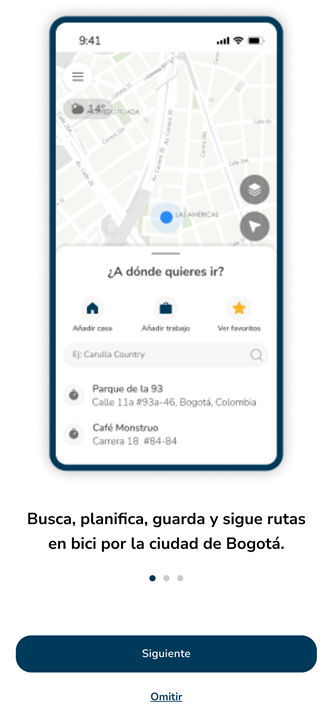
• Users can input their starting point and destination to receive real-time route calculations.
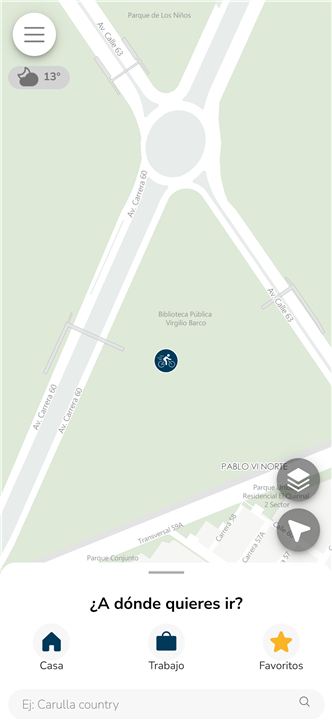
• It includes a base map with a unique visual style, ensuring clear and intuitive navigation.
• The official bike path network of Bogotá is integrated, helping cyclists follow approved and safe routes.
Safety & Emergency Features
• A built-in panic button connects users directly to Bogotá’s emergency services (123) in case of accidents or threats.
• The app displays accident-prone zones, theft hotspots, and nearby CAI (police aid centers) for increased awareness.
• Users can access bike parking spots, reducing the risk of theft when leaving their bicycles unattended.
Additional City Data & Personalization
• The app overlays relevant city data, such as bike repair stations, libraries, and bike-friendly roads.
• Cyclists can save favorite routes and maintain a history of recent trips, with the option to delete records for privacy.
• Weather updates along the route help users prepare for changes in conditions.
Time & Distance Calculations
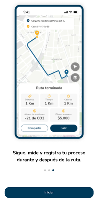
• Estimates travel duration, distance covered, and arrival time based on cycling speed and route complexity.
• Helps in trip planning by comparing alternative paths for efficiency.
Connectivity & Sharing
• Users can share their routes via social media or messaging apps.
• Integration with other Bogotá District services, such as the Bike Registration system, enhances security and administrative support.
Bogotá Bici Maps is an all-in-one cycling tool that promotes sustainable mobility, safety, and convenience.
Whether commuting to work or exploring the city, cyclists benefit from its navigation aids, emergency support, and real-time data.
The app fosters a bike-friendly culture while addressing the challenges of urban cycling in Bogotá.
FAQ
Q: How does the app determine the best cycling routes?
A: The app calculates routes based on Bogotá’s official bike lanes, low-traffic roads, and safety considerations. It avoids high-risk areas and suggests the fastest or safest path.
Q: Does the app provide turn-by-turn navigation?
A: Yes, it offers step-by-step voice and visual guidance to ensure you stay on track.
Q: Can I customize my route preferences (e.g., avoiding hills, prioritizing bike lanes)?
A: Currently, the app automatically selects the safest and most efficient routes, but future updates may include more customization options.
Version History
v29——12 Aug 2025
An application for those who move around the city by bicycle Download the latest version of Mapas Bogotá Bici to enjoy new features and updates immediately!
*29
Actualización de información y librerias
*25
Mejoras en la información de las zonas de seguridad
*23
Mejoras de rendimiento y en la interfaz


Ratings and reviews
There are no reviews yet. Be the first one to write one.