
MarineTraffic - Ship Tracking APK
4.1.59
MarineTraffic - Ship Tracking
MarineTraffic - Ship Tracking APK
Download for Android
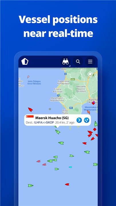
MarineTraffic offers near real-time tracking of ships and yachts across the globe, providing an extensive overview of maritime traffic.
Connected to the largest network of land-based AIS (Automatic Identification System) receivers, the app covers most major ports and key shipping routes, ensuring comprehensive vessel monitoring.
Key Features
• Live Vessel Tracking:
- View vessels on the interactive live map, search for ships, boats, and seaports, and discover what’s nearby.
• Vessel Reporting:
- Over 300,000 vessels report their positions daily via MarineTraffic AIS, maintaining up-to-date location accuracy.
• Weather Information:
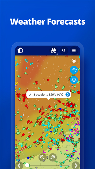
- Access live wind conditions and 48-hour wind forecasts directly on the map to help with navigation and planning.
• Animated Playback:
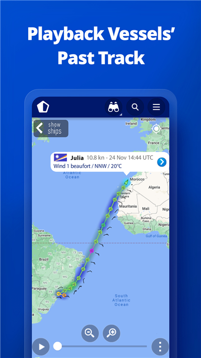
- Replay the movement track of any vessel to visualize its journey and understand its route history.
• Port Data:
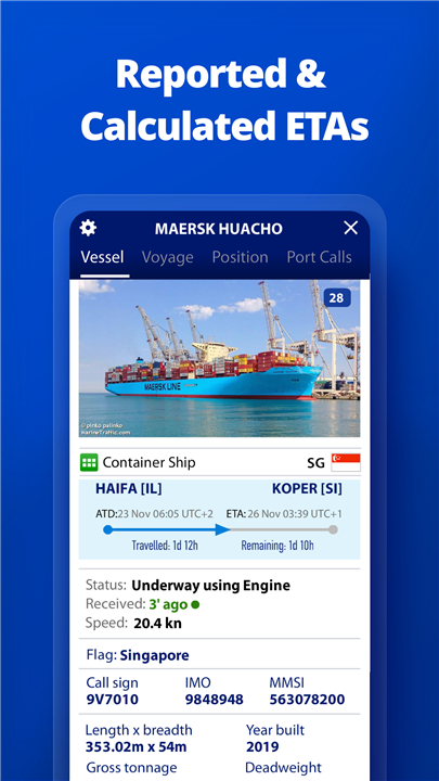
- Get live information on port arrivals and departures for over 4,000 ports and marinas, including current port conditions and estimated arrival times for vessels.
• Fleet Management:
- Manage and monitor your personalized list of vessels, called "My Fleet," which syncs across all your devices and on MarineTraffic.com.
• Photo Gallery:
- Explore an extensive collection of over 4.5 million photos featuring ships, harbors, lighthouses, and maritime scenes from around the world.
• Satellite Tracking (ACCESS PLUS 24):
- Identify and track vessels outside the range of land-based AIS using satellite AIS data available through an in-app purchase.
• Augmented Reality Tool:
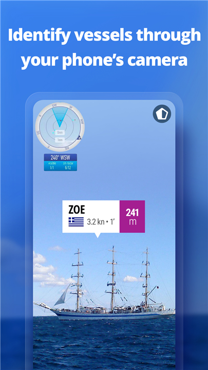
- Simply point your device’s camera to the horizon to identify nearby vessels at a glance, including details such as name, flag, speed, and distance.
Additional Benefits for Paying Subscribers
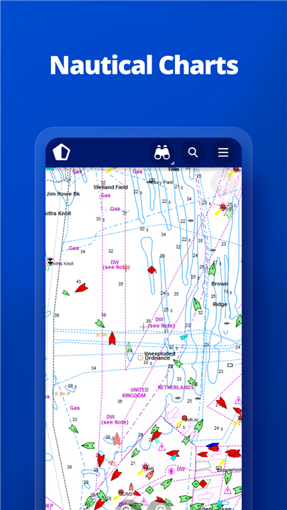
• Nautical charts for better route planning.
• Advanced weather maps with detailed meteorological data.
• Density maps showing vessel traffic intensity.
• Access to satellite AIS data for enhanced tracking capabilities.
Community and Coverage
• Join the vibrant MarineTraffic community to stay connected with maritime enthusiasts worldwide.
• If you are interested in specific areas, please verify coverage at www.marinetraffic.com before purchasing the app to ensure the service meets your needs.
FAQ
Q: How does MarineTraffic track vessels?
A: MarineTraffic collects positional data from over 300,000 vessels daily through AIS (Automatic Identification System) receivers located on land and via satellite AIS for broader coverage, allowing users to monitor vessel positions accurately.
Q: Which vessels can I track using MarineTraffic?
A: You can track a wide range of vessels including cargo ships, tankers, passenger ships, fishing boats, yachts, and more, across most major ports and shipping routes globally.
Q: Can I track vessels outside land-based AIS coverage?
A: Yes, by subscribing to the ACCESS PLUS 24 service, you can access satellite AIS data to identify and track vessels beyond the range of land-based receivers.
Version History
v4.1.59——25 Jun 2025
Download the latest version of MarineTraffic - Ship Tracking to enjoy new features and updates immediately!
*4.1.59
Bug fixes and improvements
*4.1.53
Bug fixes and improvements
*4.1.52
Bug fixes and improvements


Ratings and reviews
There are no reviews yet. Be the first one to write one.