


StreetComplete
Turn Your Walks into Map‑Making Adventures
• A user‑friendly Android app that helps you improve OpenStreetMap, the free, crowd‑sourced world map.
• Designed for anyone – from an occasional stroller to a seasoned mapper – who wants to make the map more accurate without learning complicated GIS software.
How It Works
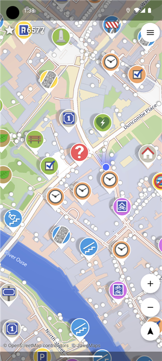
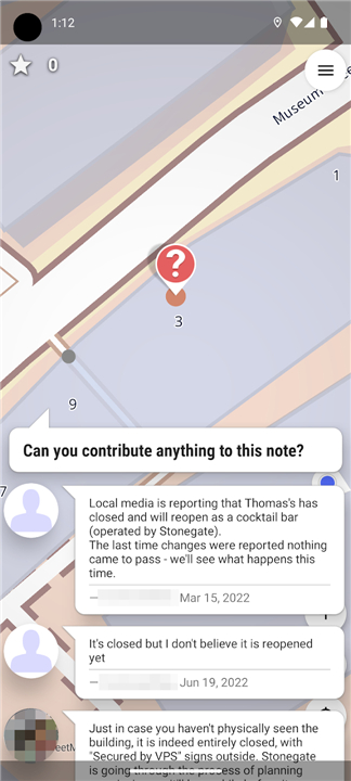
• Smart Scan – While you move, the app surveys the nearby streets and spots missing, outdated, or incomplete map features.
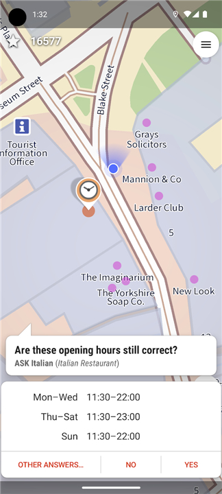
• Quest Markers – Those gaps appear on an interactive map as bright, easy‑to‑spot icons.
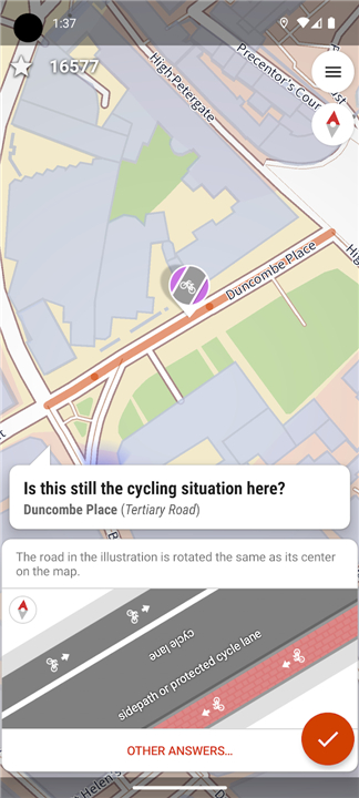
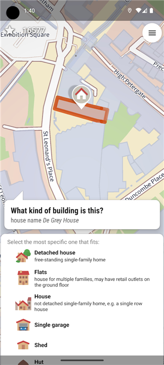
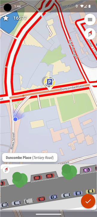
• On‑Site Questions – Tap a marker, answer a simple, location‑based query (e.g., “Is there a sidewalk here?”), and you’ve completed a “quest.”
Instant, Seamless Contributions
• Your responses are automatically transformed into the proper OpenStreetMap data format.
• The information is uploaded straight to the live map and credited to your personal OSM account.
• No external editors, GIS tools, or prior mapping experience are required.
Typical Quests You’ll Encounter
• Road Details – Identify surface type, smoothness, and posted speed limits.
• Pedestrian Infrastructure – Note sidewalks, crosswalks, curb ramps, and tactile paving.
• Neighborhood Amenities – Record street lighting, bike racks, recycling bins, and other public facilities.
• Accessibility – Mark wheelchair‑accessible routes, ramps, and other inclusive features.
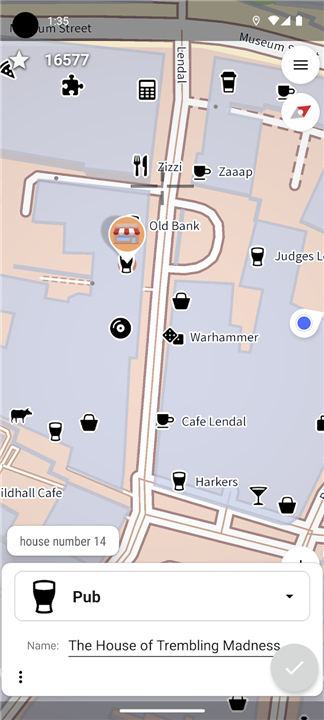
• Local Business & Address Info – Verify house numbers, shop names, opening hours, and other fine‑grained details.
Why It Matters
• By turning everyday walks into purposeful map‑editing quests, StreetComplete empowers anyone to help build a more detailed, reliable, and inclusive map of the world.
• Your small contributions add up to a smarter, more connected planet.
FAQ
Q: Do I need to have prior GIS experience or know how to edit maps to use this app?
A: Not at all, as the app is specifically designed to bypass the steep learning curve of traditional geographic information systems. You do not need to understand complex data structures, tags, or editing tools because StreetComplete handles all of the technical heavy lifting behind the scenes. If you can recognize a sidewalk, identify a road surface, or read a house number, you have all the skills necessary to become an active and valuable contributor.
Q: How do the "quests" in StreetComplete work, and how does the app find them?
A: The app utilizes a smart scanning feature that continuously cross-references your GPS location with existing OpenStreetMap data to detect incomplete or outdated attributes nearby. These missing pieces of information are then displayed on an interactive map as bright, easy-to-see quest markers. When you tap a marker, the app presents a simple, localized question about your immediate surroundings, and answering it successfully completes the quest.
Q: Can you give me some examples of the types of quests I will encounter while walking around?
A: You will run into a wide variety of tasks that focus on local details, ranging from identifying road characteristics like surface smoothness and speed limits to mapping pedestrian infrastructure like crosswalks and tactile paving. Other common quests will ask you to verify neighborhood amenities such as street lighting, bicycle parking, and recycling bins, or even double-check fine-grained details like house numbers and shop opening hours.
Version History
v63.4——13 Aug 2026
OpenStreetMap surveyor app Download the latest version of StreetComplete to enjoy new features and updates immediately!
*63.4
Minor bug fixes and improvements. Install or update to the newest version to check it out!
*63.2
Minor bug fixes and improvements. Install or update to the newest version to check it out!
*63.1
Minor bug fixes and improvements. Install or update to the newest version to check it out!











Ratings and reviews
There are no reviews yet. Be the first one to write one.