
HiiKER: The Offline Hiking app APK
5.109-729
HiiKER: The Offline Hiking app
HiiKER: The Offline Hiking app APK
Download for Android
HiiKER is an award-winning hiking app designed specifically for hikers. With access to over 100,000 verified trails worldwide, customizable route planning, offline maps, and many more features, HiiKER is the ultimate companion for any hiking adventure.
Discover 100,000+ Verified Hiking Trails
HiiKER provides access to over 100,000 verified hiking, walking, and backpacking trails around the world. Whether you’re looking for easy day hikes or challenging multi-day treks, HiiKER’s powerful trail search tool makes it easy to find the perfect trail for you.
Download Hiking Maps for Free
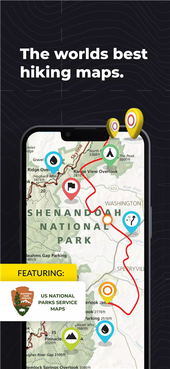
With HiiKER, you can download more than 87,000 of the best hiking trails right to your smartphone, absolutely free. Once downloaded, you can navigate your routes offline, even in airplane mode, ensuring you stay safe and on track no matter how remote your adventure gets.
Custom Hiking Routes and Waypoints
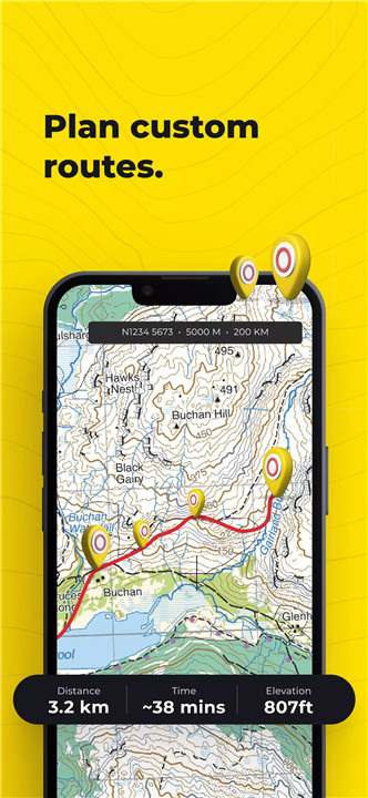
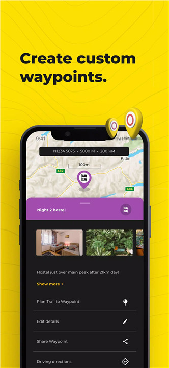
HiiKER’s Route Planner allows you to design your own custom hiking routes. Add waypoints for campsites, water sources, checkpoints, or geocaching locations, and plan the best path for your adventure. You can even export your routes to GPX files and sync them with devices like Garmin or Apple Watch.
Record and Track Your Hikes
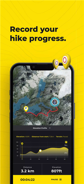
The HiiKER Tracker records your hiking activity, offering detailed stats like distance, elevation gain, and time spent on the trail. You can easily share your hikes with your hiking community on platforms like Strava, Garmin, or Google Fit.
Offline Navigation and GPX File Support
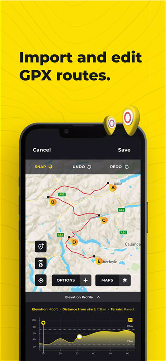
With HiiKER, you can import GPX files from other apps, make edits, and use them on the trail. Whether you’re importing from AllTrails, Komoot, or Garmin, HiiKER makes it easy to integrate data and track your progress.
High-Resolution Maps and Premium Features
HiiKER offers a range of high-resolution map layers, including US National Forests, USGS, Swiss Topo, and many more. Upgrading to HiiKER PRO+ unlocks additional premium maps, stage-by-stage trail breakdowns, distance measurement tools, and more.
Points of Interest and Accommodation
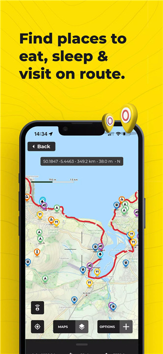
HiiKER helps you find more than just trails. You can locate essential amenities such as campsites, motels, restaurants, and water sources along your route. Plan your hike with convenience, knowing where to resupply or rest.
FAQs
1. How much does HiiKER cost?
HiiKER offers a free version with access to over 100,000 hiking trails and offline maps. For advanced features, HiiKER PRO+ is available starting at $4.99 per month or $49.99 per year.
2. Can I use HiiKER offline?
Yes, HiiKER allows you to download hiking trails and use them offline. This includes access to trail maps, elevation profiles, waypoints, and more, even in airplane mode.
3. Can I plan custom hiking routes with HiiKER?
Yes, HiiKER’s Route Planner enables you to create custom hiking routes. You can download your planned route to your device and share it with others or sync it with devices like Garmin and Apple Watch.
4. What is the GPX file support in HiiKER?
HiiKER allows you to import, export, and edit GPX files. If you have routes from other apps like AllTrails or Garmin, you can easily integrate them into HiiKER for seamless navigation.
5. What maps are available in HiiKER PRO+?
HiiKER PRO+ users have access to premium high-resolution maps, including US National Forests, USGS, Ordnance Survey UK, Swiss Topo, and many more, enhancing your outdoor experience with detailed map data.
Version History
v5.109-729—7 Apr, 2025
New in this update: our enhanced map information bar! Now you can customize your on-map data display to show exactly what you need: coordinate data, elevation Insights to quickly assess terrain changes, distance from the map's center at a glance, set dynamic bearing & course, query GPS accuracy, and get real-time weather info, including temperature, rainfall, wind speed, visibility, cloud cover and more. Your map experience, your way!
v5.108-725—2 Apr, 2025
New in this update: our enhanced map information bar! Now you can customize your on-map data display to show exactly what you need: coordinate data, elevation Insights to quickly assess terrain changes, distance from the map's center at a glance, set dynamic bearing & course, query GPS accuracy, and get real-time weather info, including temperature, rainfall, wind speed, visibility, cloud cover and more. Your map experience, your way!
v5.107-722—25 Mar, 2025
New in this update: our enhanced map information bar! Now you can customize your on-map data display to show exactly what you need: coordinate data, elevation Insights to quickly assess terrain changes, distance from the map's center at a glance, set dynamic bearing & course, query GPS accuracy, and get real-time weather info, including temperature, rainfall, wind speed, visibility, cloud cover and more. Your map experience, your way!




Ratings and reviews
There are no reviews yet. Be the first one to write one.