TrekMe - GPS trekking offline APK
4.9.7
TrekMe - GPS trekking offline
TrekMe - GPS trekking offline APK
Download for Android
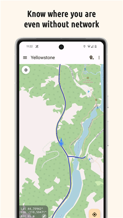
TrekMe is an Android application that allows you to view your live location on a map and access other valuable information without needing an internet connection, except during the map creation process. It’s perfect for activities like trekking, biking, or any outdoor adventure.
Your privacy is a top priority with this app, as it features zero tracking. This ensures that you are the only one aware of how you use the app.
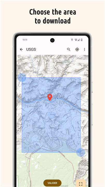
To get started, you can create a map by selecting the area you wish to download, making it available for offline use (the GPS functionality remains active without mobile data).
You can download maps from sources such as USGS, OpenStreetMap, SwissTopo, and IGN (for France and Spain), with plans to add more topographic map providers in the future.
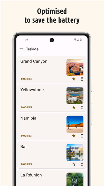
The app is designed to be fluid and efficient, ensuring minimal battery drain while providing a smooth user experience.
It is also compatible with SD cards, allowing you to store larger maps that may exceed your device's internal memory capacity.
Key Features:
• Import, record, and share tracks in GPX format
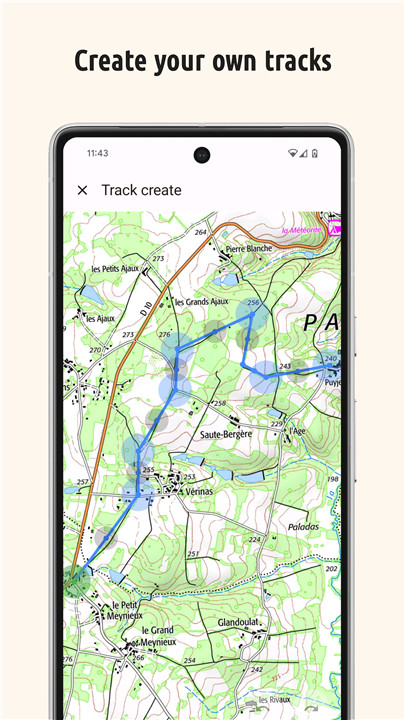
• Plan your hikes by creating and editing tracks on the map
• Visualize your recordings in real-time, along with statistics like distance and elevation
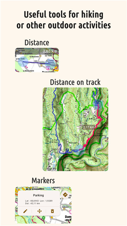
• Add markers on the map with optional comments
• Monitor your orientation and speed
• Measure distances along a track or between two points
Please note that some map providers, such as France IGN, may require an annual subscription. Premium options offer unlimited map downloads and exclusive features, including:
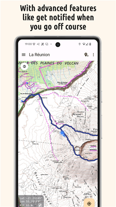
• Alerts when you stray from a track or approach specific locations
• Fixing your maps by downloading missing tiles
• Updating your maps
• Access to the HD version of OpenStreetMap, which provides double the resolution and improved text readability
…and more.
For professionals and enthusiasts alike, if you have an external GPS device with Bluetooth*, you can connect it to TrekMe, allowing for enhanced precision and more frequent position updates, which is particularly beneficial for activities like aeronautics or professional topography.
(*) Enables NMEA functionality via Bluetooth.
Privacy
While recording GPX data, the app gathers location information even if it is not actively in use or is closed. Rest assured, your location will remain private and will not be shared with anyone, as GPX files are saved locally on your device.
General TrekMe guide
https://github.com/peterLaurence/TrekMe/blob/master/Readme.md
FAQ
Q: How does TrekMe ensure my privacy?
A: TrekMe prioritizes your privacy by featuring zero tracking. This means that the app does not collect or share any of your data. Your location information is stored locally on your device, and you are the only one aware of how you use the app.
Q: How do I create a map in TrekMe?
A: To create a map, open the app and select the area you wish to download. You can choose from various map sources such as USGS, OpenStreetMap, SwissTopo, and IGN (for France and Spain). Once you've selected the area, the map will be downloaded and available for offline use.
Q: What map sources are available in TrekMe?
A: TrekMe currently supports maps from USGS, OpenStreetMap, SwissTopo, and IGN (for France and Spain). More topographic map providers are planned for the future.
Version History
v4.9.7——9 Apr 2025
Travel maps, online/offline navigation and more. Accessible from one app only Download the latest version of TrekMe - GPS trekking offline 4.9.7 to enjoy new features and updates immediately!
* 4.9.7
• Stability fixes
* 4.9.6, .., 4.9.0
• Improve vertical ascent and descent calculation.
• You can now set icons for markers. The starting icon set includes the essential icons. New icons will be added in future versions, as well as a search feature.
• New advanced option to set the location source to GPS only.
• Various fixes related to markers and beacons.
• Trail search is restored.




Ratings and reviews
There are no reviews yet. Be the first one to write one.