

Critical Maps
Overview
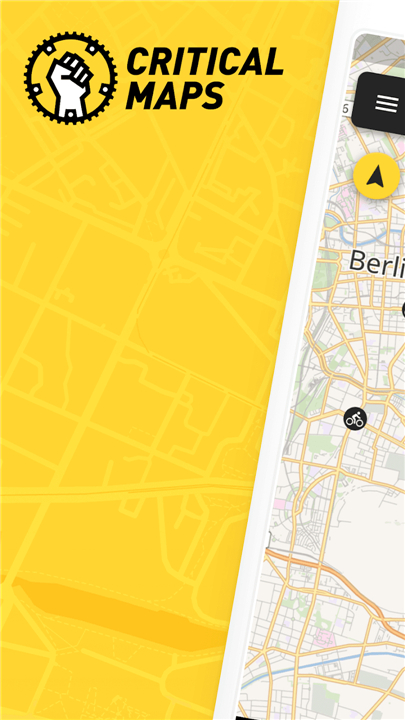
• Critical Maps is a collaborative, open-source mobile application designed to facilitate real-time coordination, navigation, and communication among participants of decentralized group events, such as Critical Mass bicycle rides.
Real-Time Location Sharing
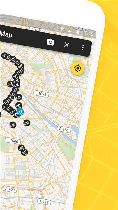
• The app utilizes your device's GPS to track your precise location and project it onto a shared, live map interface.
• It aggregates the coordinates of all active users in the area, creating a visual representation of the group's size, shape, and movement.
• This live visualization allows individual riders who get separated or arrive late to easily navigate toward and rejoin the main pack.
Integrated Group Communication
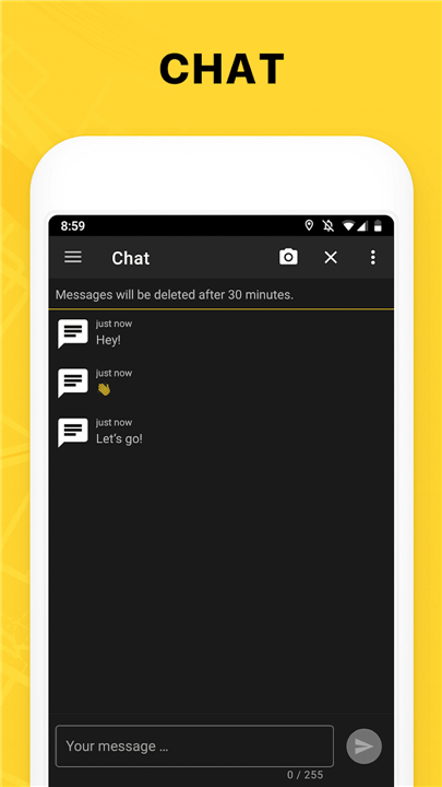
• A built-in chat feature allows users to send instant text messages to all other participants using the app.
• Users can share critical, real-time updates regarding traffic conditions, route changes, mechanical emergencies, or safety hazards.
• The chat function fosters community support and spontaneous coordination, keeping the entire group informed without the need for centralized leadership.
Privacy and Security
• The platform prioritizes user privacy by allowing participation without requiring personal registration, email addresses, or account creation.
• Location sharing is strictly opt-in and only active when the application is running in the foreground or background during an event.
Target Use Cases
• Primarily utilized for Critical Mass bike rides, social protests, and large-scale public demonstrations.
• Serves as an essential tool for grassroots community organizing, enabling fluid, self-managed movement across urban environments.
FAQ
Q: How does the application track and display the location of participants?
A: The app utilizes your device's GPS to track your precise coordinates and project them onto a shared live map interface. It aggregates the location data of all active users in the immediate area to create a clear visual representation of the group's size, shape, and real-time movement.
Q: How does the live map help riders who get separated or arrive late?
A: By providing a live visualization of the entire group on the map, the app makes navigation simple. If you get separated from the main crowd or arrive after the event has already started, you can open the map to easily locate the pack and navigate right back to them.
Q: What kind of communication tools are integrated into Critical Maps?
A: Critical Maps includes a built-in chat feature that allows you to send instant text messages to all other participants using the app. This creates a direct line of communication across the entire crowd.
Version History
v3.1.3——20 Aug 2026
GPS tracking for the Critical Mass Download the latest version of Critical Maps to enjoy new features and updates immediately!
*3.1.3
Fix menu not responding on very first launch
*3.1.2
Fix map not loading
*3.1.1
Fix crash on Android 9 and 10










Ratings and reviews
There are no reviews yet. Be the first one to write one.