MapSwipe: Mapping the World’s Most Vulnerable Communities
Overview and Purpose
• Humanitarian organizations such as Médecins Sans Frontières (MSF) and the British Red Cross rely heavily on accurate maps to locate and assist people affected by crises.
• However, in many disaster‑prone or remote areas, detailed maps simply do not exist.
• MapSwipe, a mobile application created in partnership with the Missing Maps project, addresses this challenge by turning ordinary smartphone users into digital volunteers.
• The project empowers anyone with an internet connection to help identify places where vulnerable populations live, ensuring that aid can be delivered where it is needed most.
How MapSwipe Works
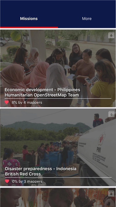
• Users download the free MapSwipe app and choose a project focused on a specific region or humanitarian concern.
• A common example might involve identifying villages at risk from cholera in the Democratic Republic of Congo, or locating communities in flood‑prone regions of Southeast Asia.
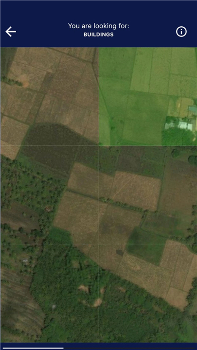
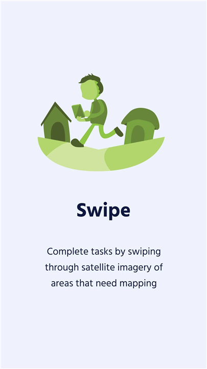
• The app presents individual satellite images, and volunteers swipe through them, marking features such as settlements, roads, rivers, or areas that show signs of human activity.
• Each contribution is small but meaningful; thousands of users working together can analyze large regions in a fraction of the time it would take professional mappers.
From Swipes to Maps
• The collected data is sent back to professional or volunteer cartographers who use it to update and refine detailed maps in platforms like OpenStreetMap.
• Previously, mappers often spent days scanning endless images of forests, deserts or uninhabited terrain to locate scattered communities.
• Thanks to MapSwipe, they can now focus directly on areas tagged by users, allowing them to build higher‑quality maps in a much shorter time.
Humanitarian Impact
• The improved maps produced through MapSwipe have immediate practical benefits.
• Health workers, emergency responders and logistics teams can pinpoint isolated villages, plan supply routes and quickly reach people in need.
• By transforming a simple action—swiping on a phone—into a powerful mapping effort, MapSwipe connects everyday volunteers to life‑saving humanitarian work across the globe.
FAQ
Q: Who can use MapSwipe?
A: Anyone with a compatible smartphone and an internet connection can download the app and start contributing. You don’t need any mapping experience, special training or a background in humanitarian work. The app is designed to be intuitive, so even a few minutes of spare time can make a difference.
Q: How does the app actually work?
A: After you install MapSwipe, you select a project that focuses on a specific region or type of humanitarian need—such as cholera‑risk villages in the Democratic Republic of Congo or flood‑prone communities in Southeast Asia. The app then shows you a series of satellite images, one at a time. By swiping left or right you indicate whether the image contains a settlement, a road, a river or any sign of human activity. Each swipe is recorded and sent back to the project coordinators.
Q: What kinds of features am I supposed to look for?
A: The most common targets are villages, towns, schools, health centres, roads, bridges and bodies of water. The project description will tell you which features are most relevant for that particular mapping effort. If you are unsure, the app provides brief visual cues and a short tutorial before you start swiping.
Version History
v2.6.0 (0)——13 Oct 2025
Help improve humanitarian responses worldwide from the comfort of your own phone Download the latest version of MapSwipe to enjoy new features and updates immediately!
*2.6.0 (0)
The changes in this version include:
- Fix tutorial crashes in Compare Dates and Find Features project types
- Add annotations and image zoom for Assess Images project type
- Update app to use new APIs for user dashboard
- Minor bug fixes
*2.5.1 (0)
Version upgrades and minor bug fixes
*2.5.0 (0)
- Added a new project type 'Validate Image
- Fixed a bug where 'Continue Mapping' crashed the app






Ratings and reviews
There are no reviews yet. Be the first one to write one.